
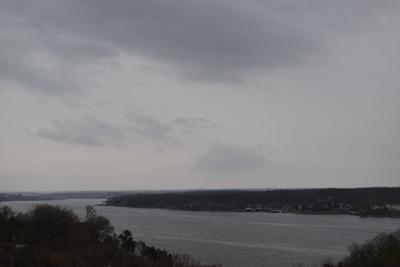
LAKE OF THE OZARKS, Mo. — Hazardous weather is predicted for the Missouri Ozarks Monday and Tuesday with an elevated risk for a tornado or hail.
As the weather system moves eastward out of Kansas and into western Missouri, large hail up to 2-3 inches in diameter, damaging winds up to 70 mph, and tornadoes are possible, according to the National Weather Service.
Camden, Miller, and Morgan counties are at an enhanced risk April 1, with severe weather timing occurring between 6 p.m. and midnight. Hail and tornado threats are dependent on many factors, so the NWS says there's lower confidence in those events, but strong storms are generally expected.
There's a 20-30% chance of thunderstorms into the early afternoon, mainly north of Interstate 44. If these storms form, lightning would be a primary threat. Frequent cloud to ground lightning is likely.
NWS is confident that severe thunderstorms will move into western Missouri later Monday afternoon into the evening, generally after 4 p.m.
Storms will likely begin to form into line segments during the mid to late evening hours, with high winds and a tornado potentially becoming the primary threat as these segments move east.
Localized flooding also appears to be a possibility dependent on storms moving over the same areas. Highest rainfall amounts are expected north of I-44.
Additional updates are likely from NWS as the severe event approaches.
For the rest of the week, elevated fire weather danger returns on Wednesday through Saturday afternoon. Areas of frost are possible both Thursday and Friday mornings.


