


Lake area property owners and real estate professionals are breathing a sigh of relief, after flood risk elevations were lowered on a proposed new flood plain map.
Lake of the Ozarks officials and other stakeholders met with representatives from Governor Mike Kehoe’s office, the Federal Emergency Management Agency (FEMA), the State Emergency Management Agency (SEMA), and the Missouri Department of Public Safety concerning these proposed statewide changes to a new flood plain map that would have, according to stakeholders, placed 10,000 additional Lake of the Ozarks area properties in the flood plain.
At the meeting, real estate professionals and community members pointed out inaccuracies in the proposed map model. SEMA agreed there were mistakes made in the preliminary data. According to former Camden County Presiding Commissioner Kris Franken, errors in the model were attributed to incomplete data.
The tension between SEMA and homeowners has been reflected even in semantics: after news broke that SEMA was considering raising the floodplain level as reflected on a proposed map, SEMA officials insisted there was never a "map," only data for a map. However, at a SEMA/WSP USA presentation in Camden County in 2023 SEMA representatives referred to the "new maps" both verbally and in a Power Point presentation.
“The initial ‘data’ predicted an increase in elevation of more than 30 feet on the Lake of the Ozarks,” former Camden County Presiding Commissioner Kris Franken said at a town hall meeting in March. According to Franken, SEMA contacted the US Army Corps of Engineers, and they recalculated the data, drastically changing the proposed flood plain elevations at the Lake of the Ozarks.

LAKE OF THE OZARKS, Mo. — The new floodplain map data is out, and Missouri's State Emergency…
Public Review
FEMA/SEMA/WSP USA conducted public Flood Risk Review #2 on Friday, March 28 at the Camden County Courthouse. The review was mandatory to comply with project guidelines.
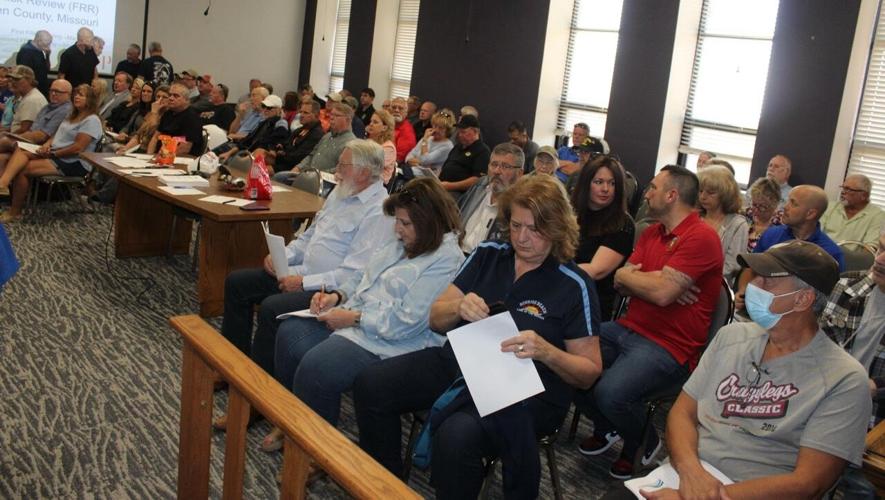
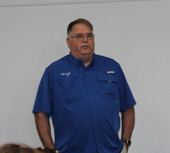
One-hundred and three concerned citizens packed the Camden County courtroom, including Camden County officials and Rep. Jeff Vernetti. There were also seven law enforcement officers in attendance from both the Missouri State Highway Patrol and the Camden County Sheriff’s Department. Camden County Presiding Commissioner Ike Skelton asked Flood Risk review presenters if law enforcement officers attended all their Flood Risk Review meetings. Meeting presenter WSP USA Program Manager Stephen Noe replied, “The officers were in attendance due to ‘rhetoric.’”
WSP USA is the State Emergency Management (SEMA) mapping partner. WSP USA is a global multinational engineering and design firm. Also in attendance virtually were representatives from FEMA and SEMA.
Noe reviewed in detail the working-set of how the flood risk data was collected for the new proposed statewide flood plain maps. Missouri SEMA Floodplain Engineering and Mapping Section Manager Sydney Roberts was the second main presenter at the review meeting. Roberts said the maps must be updated every five years for the purpose of flood insurance. If a property owner wants a federally backed loan, they must have access to the National Flood Insurance Program (NFIP). Roberts said banks and mortgage companies require this insurance on properties in the flood plain to protect their investment.
NFIP is the main supplier of flood insurance in the United States. SEMA’s Floodplain Management Section ‘administers’ the NFIP for the state of Missouri. NFIP offers flood insurance to homeowners, renters and business owners if their community agrees to participate in the program and "adopt and enforce" floodplain management ordinances that meet or exceed FEMA requirements. Currently, Stoutland, in Laclede County, is the only NFIP non-participating community in the tri-county area. According to the SEMA website, NFIP provides more than $4 billion in flood insurance coverage for Missouri homes and businesses annually.
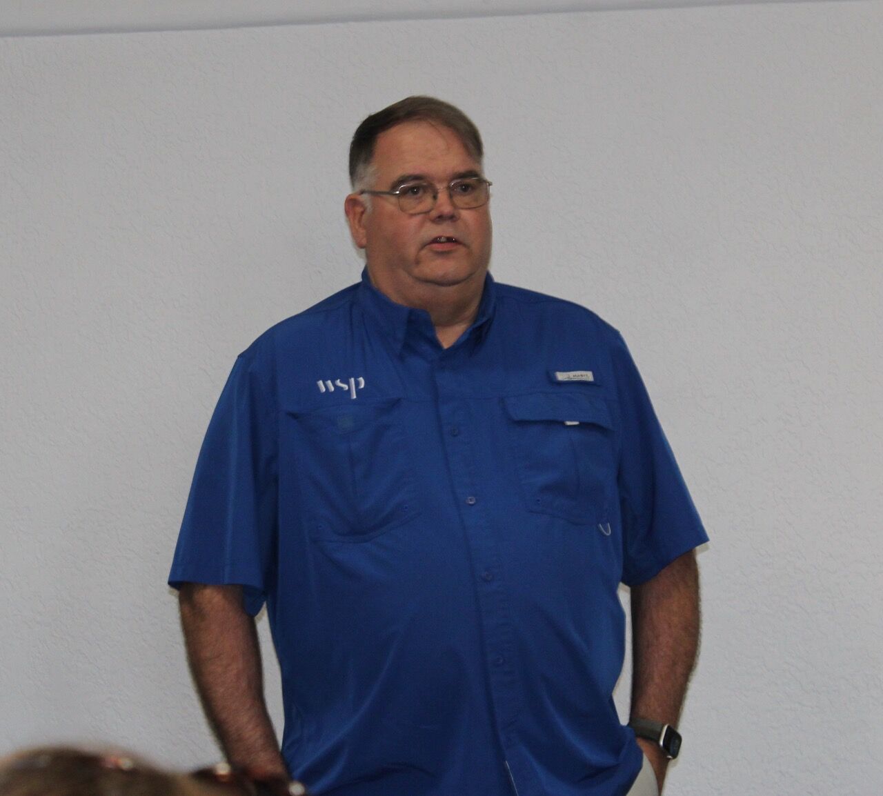
Noe laboriously explained how SEMA compiled the new flood plain map data, what they are doing now, and what they will do in the future. The tasks completed to-date include acquiring a base map and developing topographic, hydraulic, and floodplain data. They also held a meeting earlier in March to address public comments.
The information Noe presented was complex. SEMA acquires basemap information through aerials, roads and political boundaries and LIDAR data, collected from an airplane, Noe explained. He reviewed the process of obtaining field survey data and how natural, or man-made (roads and infrastructure crossings) can obstruct the flow of a stream. He said 2D modeling is the new industry standard for riverine modeling, and the goal of the hydraulic model was to accurately simulate actual flow paths, storage, and depths.

Noe explained mesh generation, which creates a mesh on a map that subdivides a continuous geometric space into discrete geometric and topological cells. Noe displayed a map which showed a 0.2-to-5.6-inch increase in Lake elevation in the Gravois Creek, the Osage River, Niangua River Basin, and the Grand Glaize Creek. Other data used included the classification of land use, annual precipitation, the timing of runoff, building footprints, and soil data grouped as A, B, C, and D, depending on soil type.
Noe also discussed the United States Army Corps of Engineers use of Bathymetry data. Riverine Bathymetry refers to the measurement and mapping of the depth of the “beds” or “floors” of water bodies, including rivers, streams, and lakes and the changes in lake elevation. Noe denied allegations of the use of climate science, drones, and remote-controlled boats.
Lower Flood Plain Elevation
The main takeaway from the Friday, March 28 meeting was that the corrected floodplain elevation numbers will render fewer properties to be found in the new floodplain map area.
"The maximum increase on the main Lake with the new proposed data will only be 4.8 inches," Franken enthused. "That is very workable. This will affect very few residences in a meaningful way," Franken said. "There are a few properties on the cusp who may be moved into the floodplain, but the number of people who are put into the floodplain is going to be much, much lower than we originally thought."
For any properties shown to be in the floodplain, the property owners will be required to obtain and submit a costly Letter of Map Amendment (LOMA). LOMAs are prepared by a surveyor to prove a property is not in a floodplain. If a property owner’s LOMA proves their property does not violate the new flood elevation, SEMA will move a ‘toggle’ on the map over their property. The moving of a toggle could be the deciding factor if a property owner will lose their home, or not, because they were flagged to be in the new floodplain, and they cannot afford the high cost of flood insurance. Encouragingly, Noe announced WSP USA will accept existing LOMAs, if they are still valid.
According to Franken, an entire lot can be in the floodplain, but if the lowest grade of a structure does not touch the floodplain elevation, that structure would not be considered to be in the floodplain.
Comments
During the comment portion of the meeting Lisa Harding asked if SEMA would use historical flood data in their equation, for instance the flood of 2015. Noe said it would be used in the same way as it was on the last map. SEMA calls this event-based analyses.
Commissioner Skelton commented that the problem with the process was trust. “These are people’s homes and lives,” Skelton said. “How will you build back their trust?” Noe responded they welcome public input, and they will try to make it better.
One attendee asked if SEMA was factoring in weather manipulation. There was no clear answer provided. Adam commented that the WSP hydrological model did not factor-in climate change, however he said WSP USA uses data from the National Oceanic and Atmospheric Administration (NOAH), which is heavily influenced by Climate Change Science.
It was asked if SEMA was taking into account the ability to open the dam's floodgates to release water, and Noe said yes.
One citizen asked where the money for flood insurance goes? Roberts responded that insurance agents get a finder’s fee and then the insurance premiums go to build reserves for disaster relief.
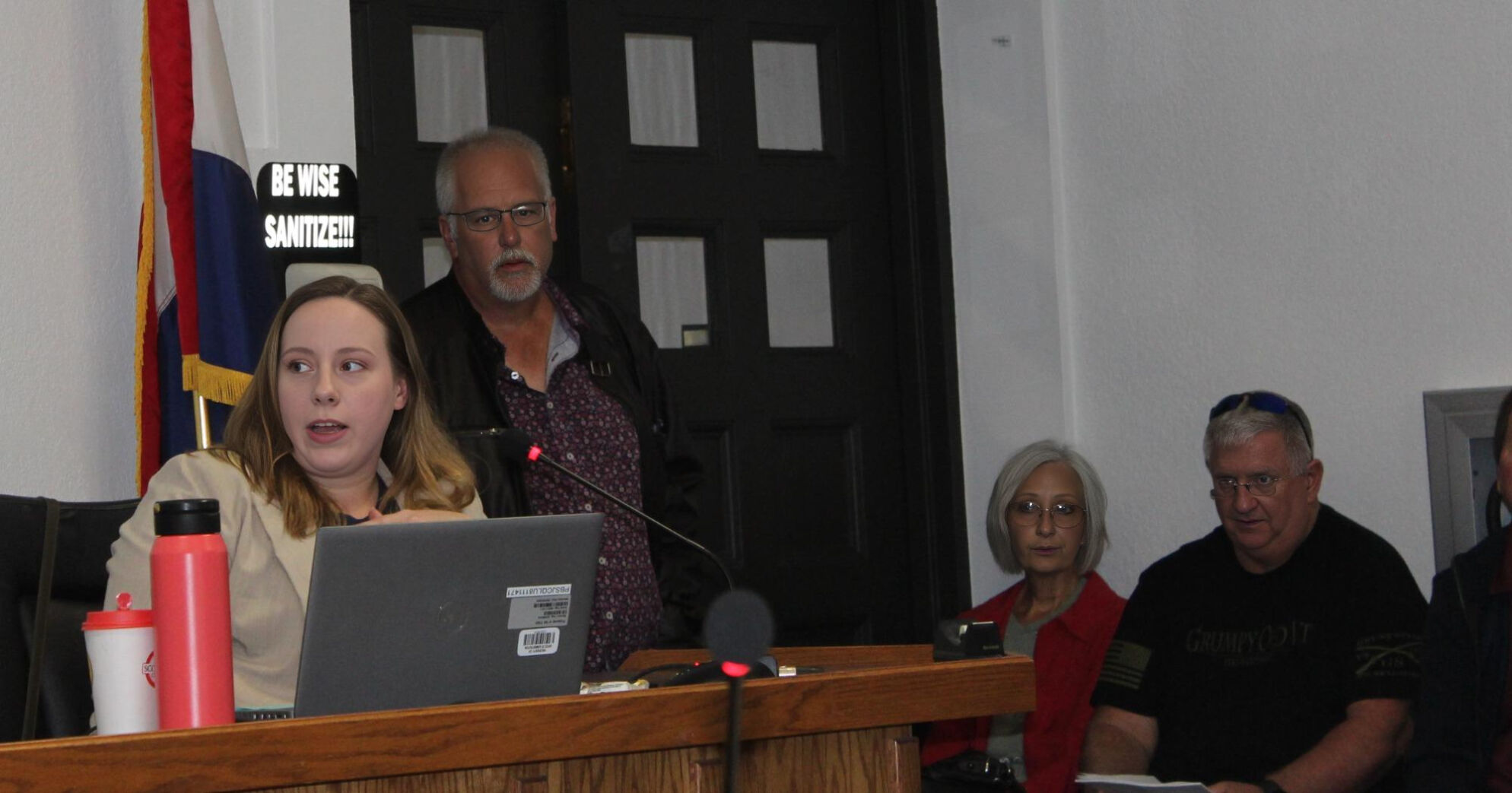
It was asked if SEMA made money from flood insurance. Roberts responded, "SEMA is funded by FEMA." In the end, it was determined SEMA does receive a portion of their funding from NFIP, through FEMA, for employee salaries. Noe reported there were approximately 150 employees that worked on the updated map data and now there are 10.
What is Next?
A timeline for the future tasks to complete the project was given. A draft (Flood Insurance Rate Map (FIRM) database will be developed for the project by Summer 2025.
A Preliminary FIRM and Flood Insurance Study (FIS) will be produced by Fall 2025/Winter 2026. They will hold a Consultation Coordination Officer (CCO) meeting in Spring 2026. A CCO is a meeting held by FEMA and its partners for communities after the issuance of preliminary Flood Insurance Rate Maps (FIRMs). The purpose of the CCO meeting and associated public Open House is to present the preliminary FIRM and data to community officials and the general public.
They will then begin the formal appeal process in Summer 2026. A Letter of Final Determination (LFD) will be issued, and the formal adoption of the ordinance and map will begin in Winter 2026.
The Missouri modeling goal is to develop data-driven models that are easy to update as data changes. According to SEMA, there is still a lot of opportunity to change the data.
30-Day Comment Period
SEMA encourages citizen comments, and it was said if feedback is provided, they can and will work with a property owner to address their concerns and incorporate them into the models. The 30-day comment period began on Friday, March 28. To contact Noe call 573-526-9383. To contact Roberts, call 615-430-0456. To see a copy of the information presented at the Friday, March 28 meeting visit https://sema.dps.mo.gov/programs/floodplain/documents/camden-flood-risk-review-03282025.pdf.
“We will continue to work with SEMA and keep an eye on what they are doing,” Franken said.


