

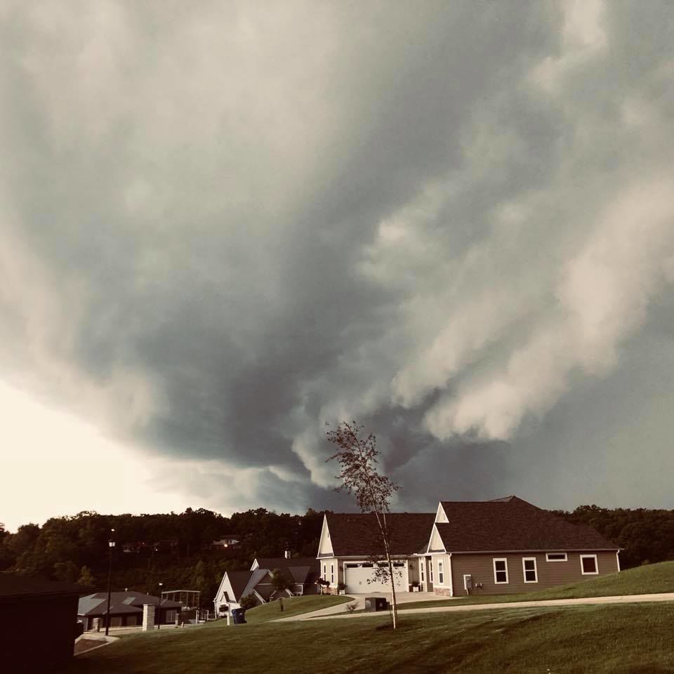
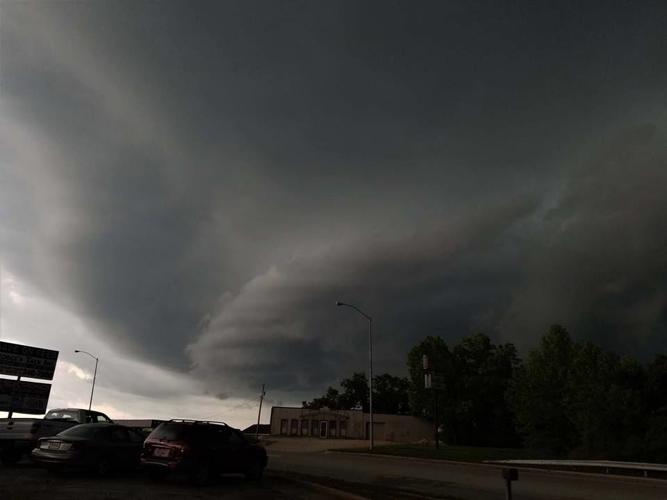
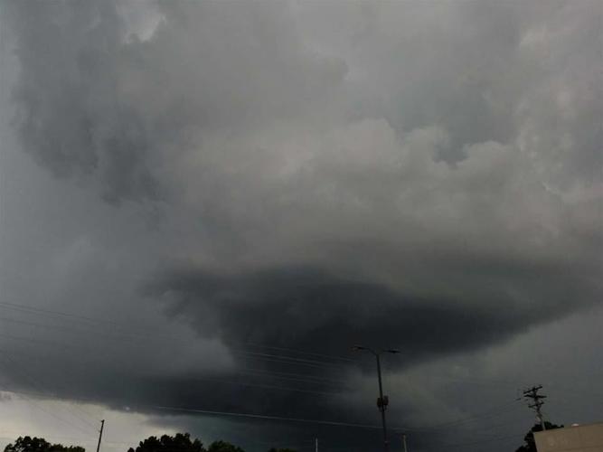
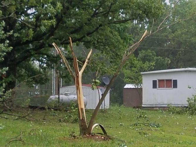
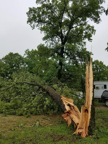
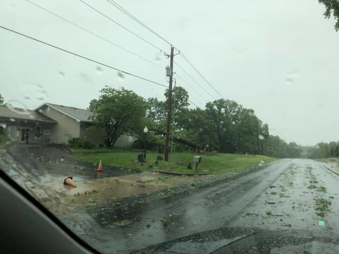
Winds over 50 mph, large hail, flash flooding and likely tornadic activity damaged buildings and downed trees across the Lake area last weekend.
Weather forecasters were calling for some rain, but it appears no one really saw storms this severe on the horizon, until it was nearly too late.
According to the National Weather Service, NWS, in Springfield, “Several waves of upper level energy interacted with instability and a little bit of shear to provide the region with several rounds of showers and thunderstorms over the 19th and 20th of May 2018. The strongest storms produced 2 EF-1 tornadoes north of Pleasant Hope. Wind damage and large hail were also reported at the Lake of the Ozarks. In addition, the storms moved across many of the same locations, producing between four and six inches of rain, from extreme southeast Kansas into central and south-central Missouri, which led to some flooding.”
According to NWS Meteorologist Drew Albert, Camdenton Memorial Airport FAA Airport Weather Station recorded wind gusts of 51 mph at 12:15 p.m. on Saturday, with Lee C Fine Memorial Airport in Osage Beach observing gusts of 56 mph at 12:33 p.m. “There could have been locally higher winds than the actual measured wind gusts,” Albert noted.
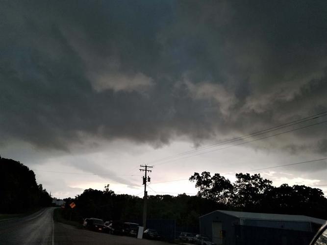
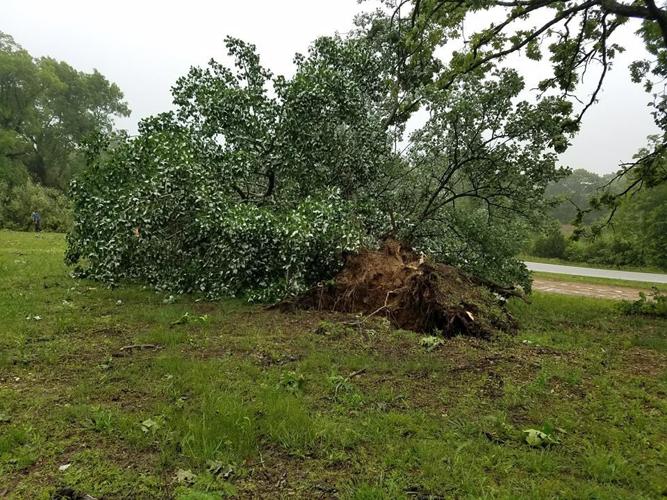
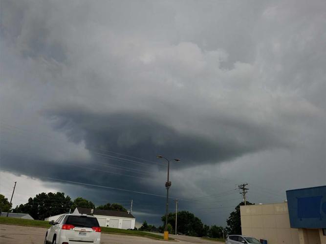
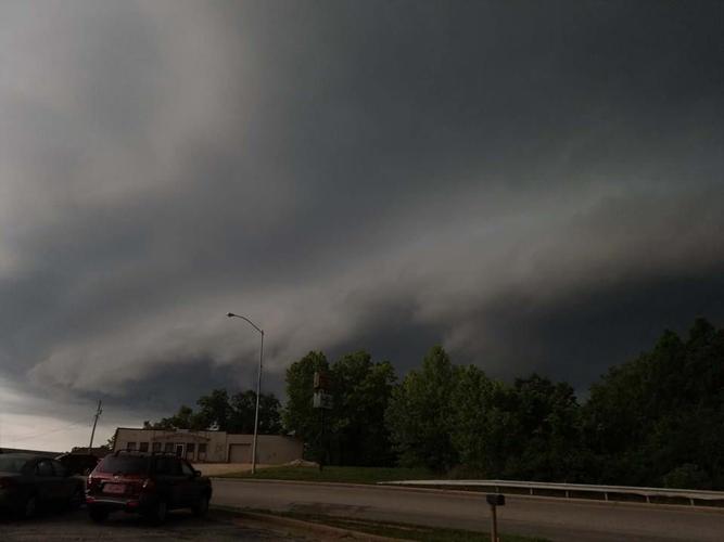
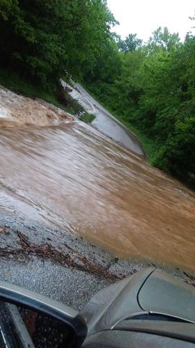
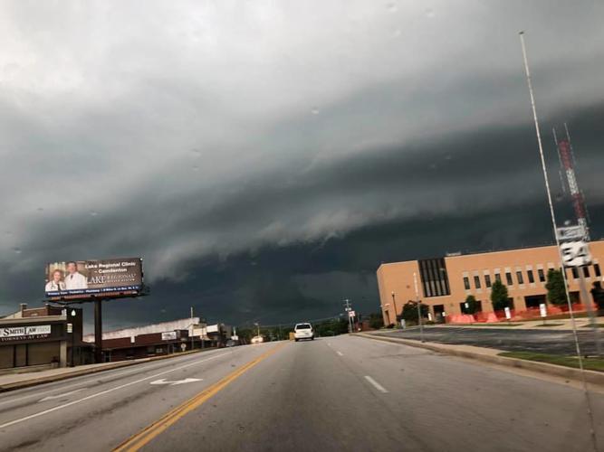
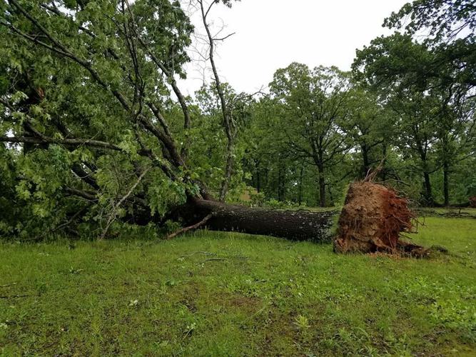
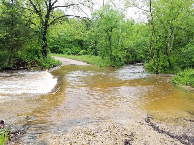
HERE ARE SOME STORM PHOTOS FROM AROUND THE LAKE...
Weekend Weather Photos - Ominous Skies Over The Ozarks
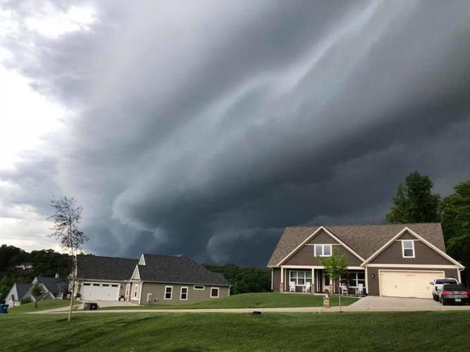
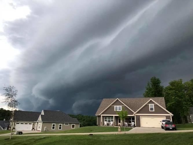
Wave after wave of thunderstorms slammed the Lake of the Ozarks region over the weekend. The photos are ominous, and they don't really even do justice...
Thanks to Nathan Reid, Dan Thiel, Marc Haycock, Tracy Eichler, Dennis Bacon, Mike Swift, Christine Winfrey, Chara Lisenbee, Rachel Dittman, LASS Storm Team, LASS Mobile Spotter Beth Phillips, Chrissy McCormick, and the Sunrise Beach Fire Protection District for the storm photos.

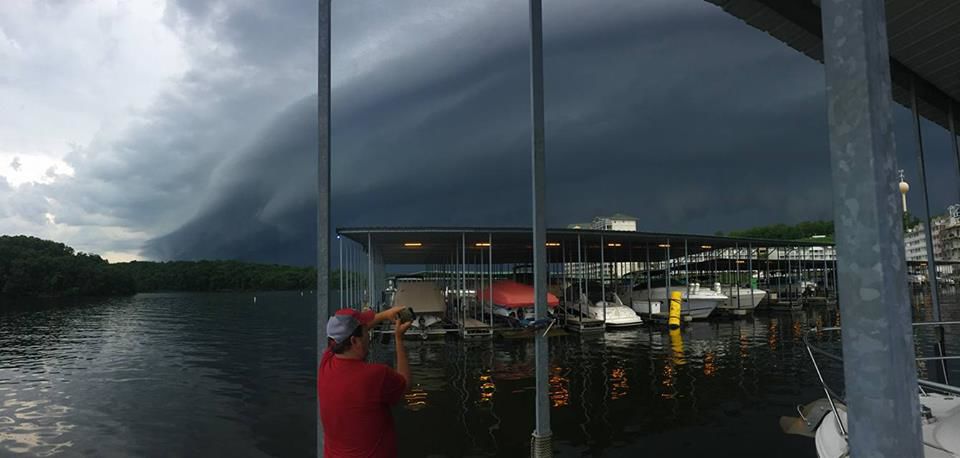
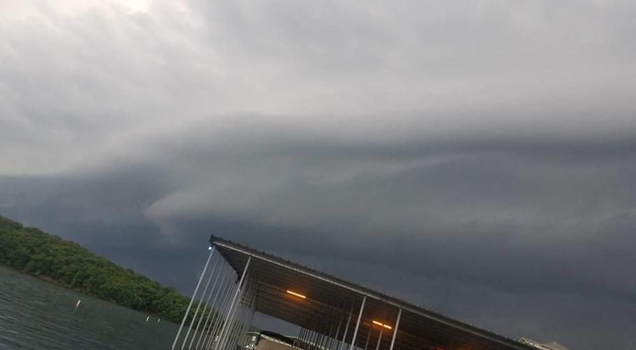
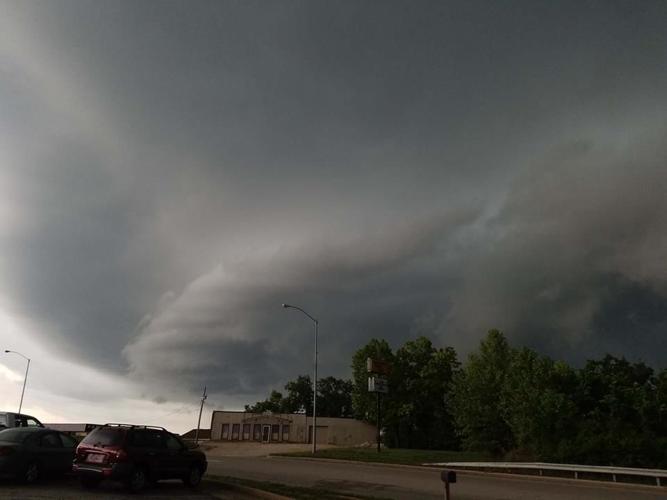
Boaters Caught By Surprise
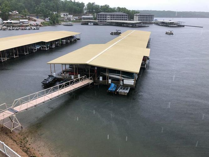
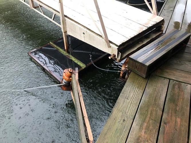
Marc Haycook was on his dock at Golden Reef at the 1 mm of the Grand Glaize Arm in Osage Beach when the worst of the storm hit. “There was only one time in 48 years I’ve ever felt stronger winds, and that was in a tornado,” Marc said. Today, it was straight line winds that broke one of our docks free and destroyed my outdoor ceiling fan.”
Marc was videoing the storm when the winds picked up and almost knocked him off his dock. “I wasn’t able to get more video because I realized there was a young girl still on in the water on a wave runner!” Marc said.
“She pulled into an empty slip and I jumped down to help hold the Wave Runner in the slip. Waves were actually crashing over the docks and I thought the Wave Runner was going to come up on the dock and crush us.” Both Marc and the girl were able to get safely indoors.
Here's the video Haycook managed to get of the storm...
Another astonishing photo: the Celebration cruise ship was out for a weekend voyage when one of the storms blew in. There are no reports of damage or injuries to ship or passengers, but it surely made for a harrowing few minutes.

Camden County
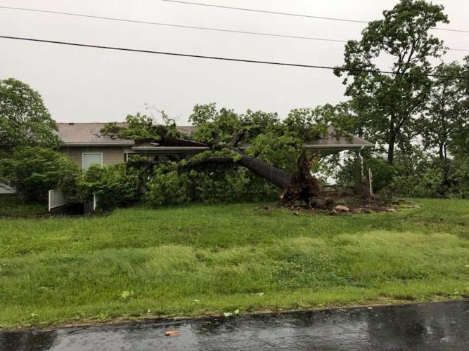
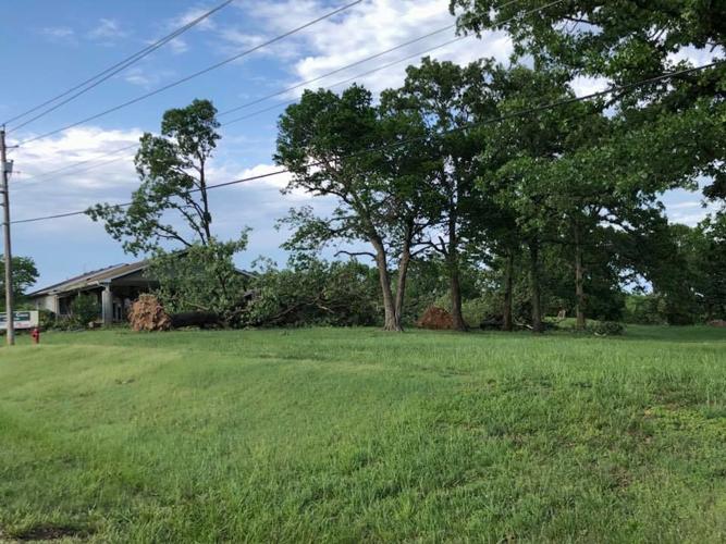
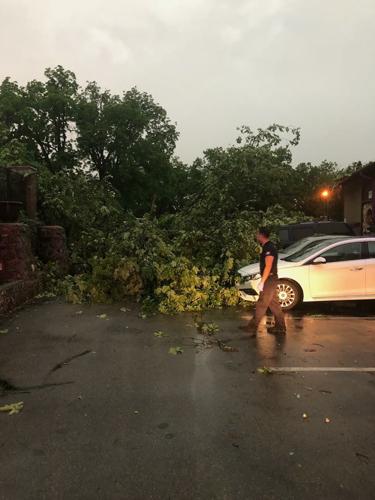
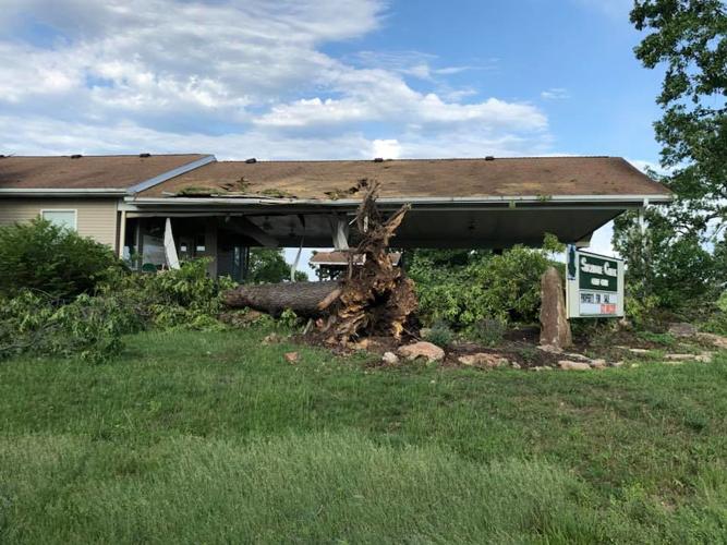
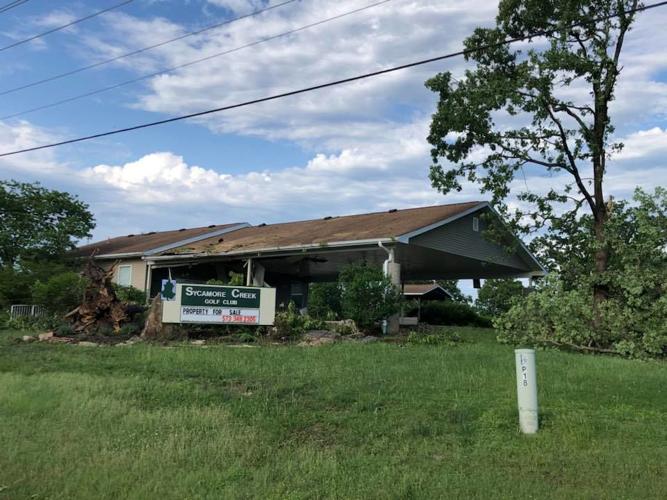
Camden County Emergency Management Director Ron Gentry reported several trees downed by high winds in Osage Beach, Camdenton, Sunrise Beach and Climax Springs. “The Osage Beach Police Department also reported damage to homes and billboards,” Gentry said. Multiple trees were toppled at and near the Sycamore Creek Golf Course in Osage Beach, with some falling on the roof of structures. Electricity was also knocked out due to downed power lines in multiple locations.
In Osage Beach, vendors at the Osage Beach Farmers Market were caught by surprise. Watching the weather radar, vendors began tearing down their booths early and preparing to leave, but the powerful storm swept through suddenly, before many had pulled down their pop-up canopies. Those tents were destroyed, as vendors clung to them desperately amid pouring rain, trying to keep them from blowing away into the parking lot and damaging vehicles. The vendors were soaked, and many tents were destroyed, but no one was injured.
Climax Springs Tornado-like funnel
According to Lake Area Storm Spotter Beth Phillips, Tri Lake Electric in Climax Springs reported seeing a rotation above their office on Highway 7.
Tri Lake Electric owners Bobby and Debbie Phillips were at their office when the storm hit at 6:45 p.m. on Sunday, May 20. This is Debbie’s account of the storm event:
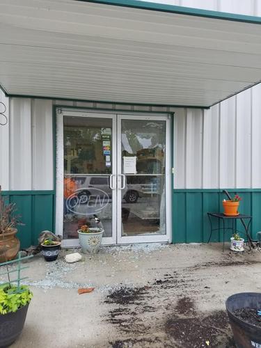
“I have lived in Missouri my entire life I have never been that scared. We were in the garage because it started raining so hard. The sound of debris pelting our metal building was deafening, so we were walking over to the office. Bobby said, ‘Oh my God Debbie, look at the trees.’ They were all swirling in opposite directions. I looked up and yelled at Bobby, Look! there are rotations going in five different directions! A tail dropped out of the clouds. We both spun around and ducked at the same time and ran into the bath room. When we turned around we saw the front door swelling and that is when a window exploded.” The power went out and they sat in darkness. “We couldn’t move, or we would trip over stuff. We stayed there until the storm stopped. I was in shock.” They looked outside and found broken flower pots, ripped guttering, downed trees and a bent sign. “It came fast and lasted about five minutes. I realized today we really had no safe place to go. We are thankful to be alive.” Their power was restored about 9:45 p.m.
Phillips said that report of the trees being pushed down and facing all directions north, south, east and west indicates there may have been some type of rotation.
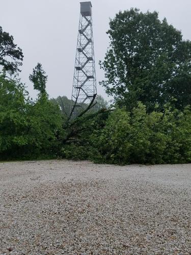
Also, in Climax Springs, two trees by Look Out Tower on Highway 7 were toppled, along with residential structures damaged by downed limbs, trees and high winds at the Leas Trailer Park, also on Highway 7. “All of the damage was along a straight line that perfectly followed Highway 7,” Phillips said. “I didn’t expect this storm to be quite what it was. I did see rotation in Greenview and Camdenton on the way to spot. However, the NWS has not confirmed any tornadic activity with these weather events.”
Sunrise Beach
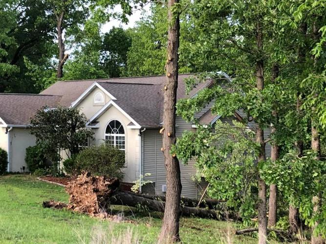
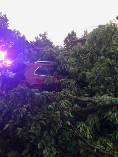
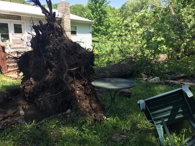
Sunrise Beach Fire Protection District Fire Chief Dennis Reilly reported his crews responded to several emergencies calls due to toppled trees. One response was to an incident where trees landed on two cars at the end of Route TT, resulting in minor injuries. SBFPD personnel also responded to a home at the end of Purvis Road where a tree fell on a house.
Sunrise Beach Police Chief Jeff Campbell reported several downed trees and limbs that blocked roads in the village, but no injuries or structure damage within Sunrise Beach city limits. Local residents, city employees and Hentges Tree Service removed the trees.
Flooding
“This storm took us by surprise, there was rain in the forecast, but it did not look that severe,” CCEMD Ron Gentry said. “We barely got into a severe thunderstorm warning, but when we did…it hit hard.” Gentry was out assessing and recording damages on Monday, May 21 and he reported multiple low water crossings that were flooded as back down to normal flow.
There was also a report of flood waters over Ball Park Road, Lake Road 7-5 in Greenview and Fiery Fork Road in Climax Springs. A tree blocked C Highway between Barnett and Brumley for a short period.
Morgan County Storm Damage
Morgan County Emergency Management Director Rick Bias reported multiple trees downed on Route T in Versailles. “With the high winds and ground saturation from the rains, the trees gave way,” Bias said. He also reported road erosion. “We received about three inches of rain over the weekend. As expected in rural areas around the lake, low water crossings flood.” As of 7 a.m. on Monday, there was an inch of water still over Lebanon Lane in Morgan County.
Miller County
Miller County Sheriff Louie Gregoire reported high winds, hail and rain with multiple trees downed in the south portion of Miller County. One tree fell, and narrowly missed a trailer owned by the Miller County Sheriff’s Department. There were no confirmed reports of injuries or structure damage in Miller County as of Monday.


