
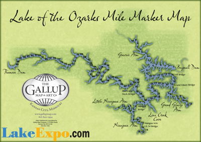
The Lake of the Ozarks stretches over 100 miles (when you count its multiple arms) through the Ozark hills, and boaters who navigate the Lake often create points of reference based on mile markers.
Lakefront restaurants advertise their mile marker before their on-land address. Water Patrol checkpoints, boating accidents are documented based on the mile marker where they took place. And events like the Shootout and Lake Race take place between specifically publicized mile markers.
And yet, a simple Google search for “Lake of the Ozarks mile marker map” turns up disappointing results. So the LakeExpo crew decided to change that.
Armed with a unique map courtesy of Gallup Map Company (hand-drawn before the Lake was actually even built… learn more about this amazing map’s history and how it was nearly lost forever, here), we’ve created a simple, easy to reference map of the Lake with all its mile markers.
We kept the Lake’s countless landmarks and waterfront hotspots off the map, to keep from muddying the waters. Plus, Google's already got that pinned down.
So here’s the map, and here's to a perfectly clear day on the water!
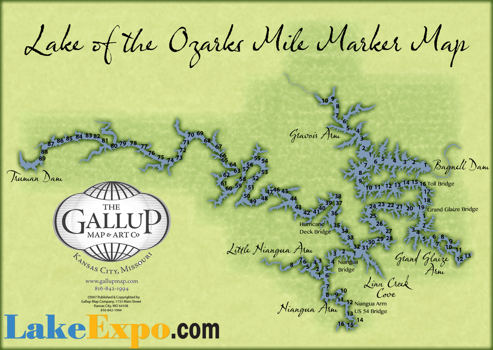
Custom art created for this page by Gallup Map Company
To visit the dedicated page for the map (if you want to bookmark it), click here.
To read about Lake of the Ozarks hotspots and waterfront restaurants, click here. To learn about Lake of the Ozarks upcoming events, click here.
(To buy high-resolution, unique and customizable Lake of the Ozarks maps for your Lake home—or the home you wish were your Lake home—visit GallupMap.com)

Hidden, priceless maps sat in a corner for decades, until a bus crashed through Pat Carroll's wall...


