CAMDEN COUNTY, Mo. — New floodplain maps drawn by the Federal Emergency Management Agency (FEMA) will spell big savings for many homeowners at Lake of the Ozarks. The preliminary versions of the new maps were recently completed. Click to view.
The maps, known as “Flood Insurance Rate Maps” (FIRM) are used by insurance companies to set rates based on projected flood risks.
Flooding Around The Lake -- Aerial Shots
Homes, docks and property went under water as the Lake of the Ozarks experienced massive flooding the weekend after Christmas.
Why Weren't Floodgates Opened Sooner? Dam Operator Explains
Photography by Shawn Kober/Big Planet Media
Photos are copyright protected! Please respect our photographers' copyrights. For copies of digital images, email photo ID to lakeexpo@yahoo.com.
MORE PHOTOS:


Camden County Presiding Commissioner Greg Hasty says the main areas affected by the new maps are mainly on the Niangua Arm, but some other areas are included too. He says the new maps are far more accurate than previous versions, and that they properly represent areas that genuinely do flood as well as areas that don’t. None of the areas affected by the two floods in 2015 have been moved outside the flood zones, Hasty noted.
FEMA will be sending a consulting officer to discuss some of the specific ways the redrawn maps will affect county government and citizens.
Hasty says he has been working on seeing the flood maps redrawn for four years.
“These maps are a vast improvement and will remove thousands of homes in Camden County from a special flood hazard area,” Hasty said, adding, “It’s a great day for Camden County.
Lake Landmarks Under Water: Resorts, Restaurants & Marinas Submerged By Floods
Waterfront bars, restaurants, resorts and marinas that epitomize so much of the Lake experience for visitors and residents at Lake of the Ozarks found themselves under water for the second time in 2015.
photography by Janet Dabbs and Lakefront businesses (posted on their Facebook pages)
Please contact lakeexpo@yahoo.com for copies of digital images for which we hold copyright.


Cabana Jones' Facebook post:
"Indoor pool anyone?"

Cabana Jones' Facebook post:
"Indoor pool anyone?"


Glencove Marina Facebook post:
"Rain, Rain, go away.. Don't come back another day!! We have water flooded onto the parking lot below but I'm not complaining. Docks are safe, boats are all safe, we are safe. I'm happy our office buildings are not right on the water front! Thank you Mike and Kenton for checking on the dock cables this morning!! Stay safe everybody."


Lighthouse Marina Facebook post:
"Not again"

Lighthouse Marina Facebook post:
"Not again"

Mariners Pier 31 -- Facebook post:
"Just a little rain here. Nothing we can't handle thou. Stay dry and warm."

Montego Bay Facebook post:
"4' over full pull, we might need to invest in paddle boards lol, everything is ok here"


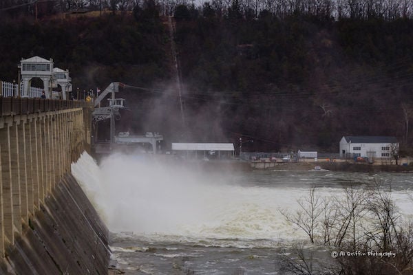
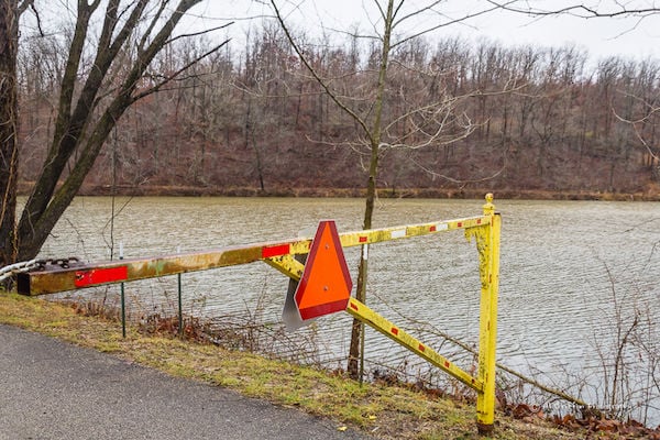
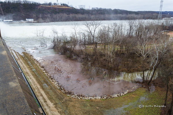
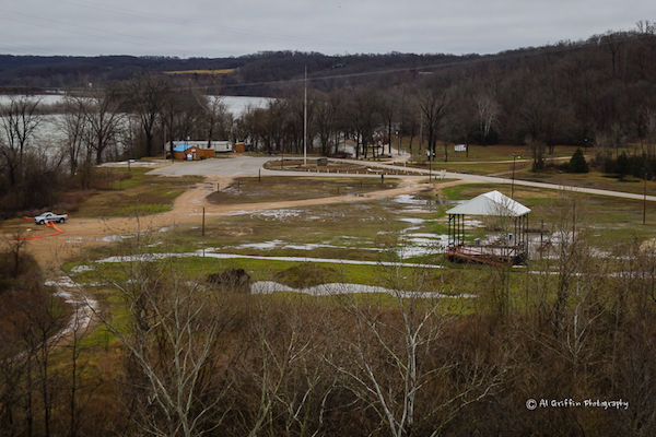
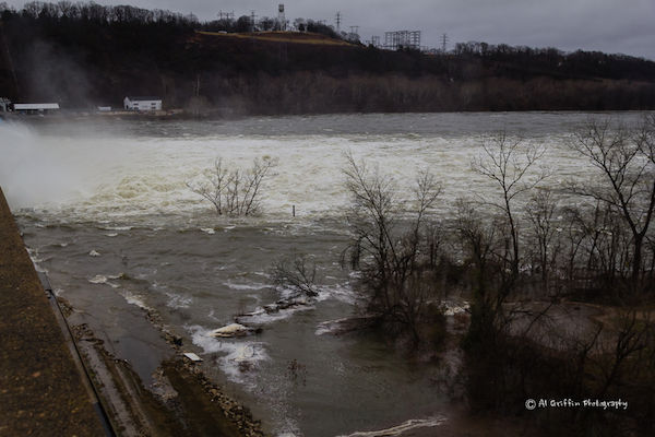
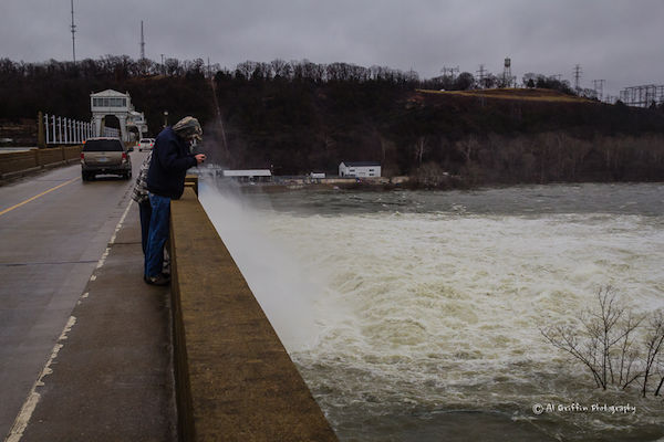
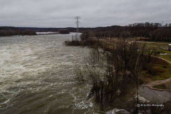
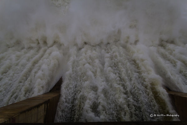
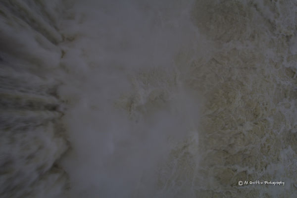
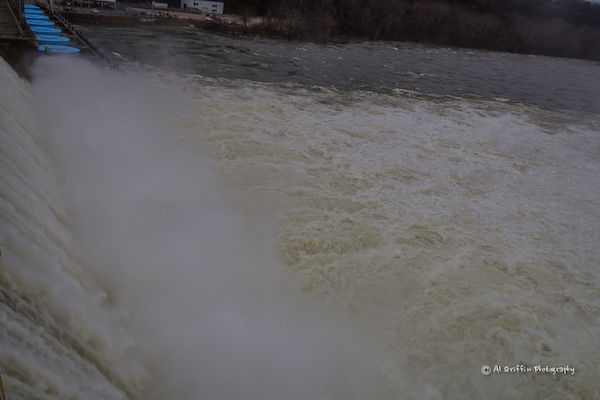
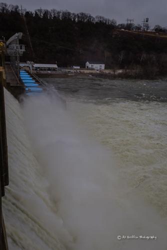
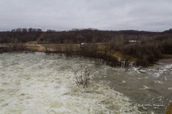
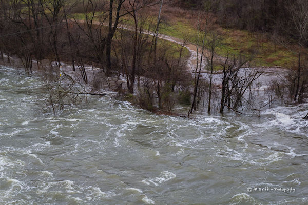
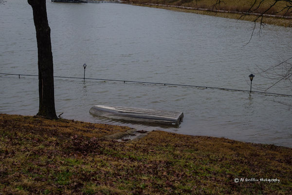
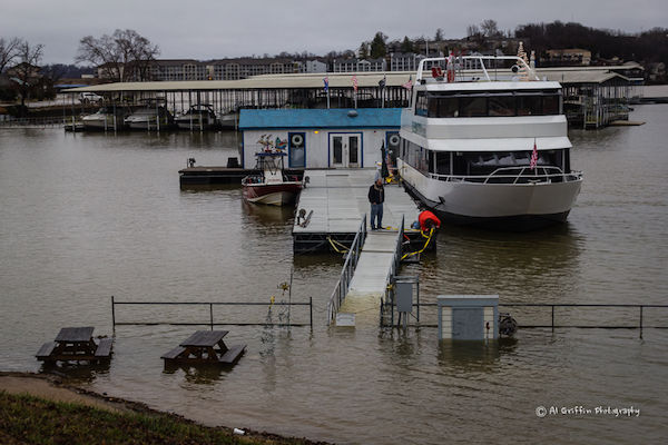
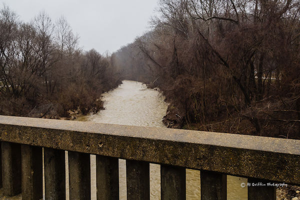
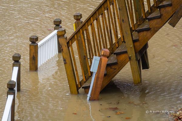
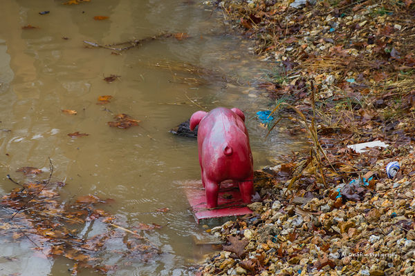
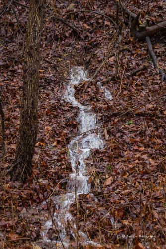
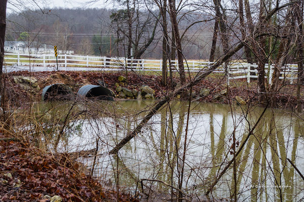
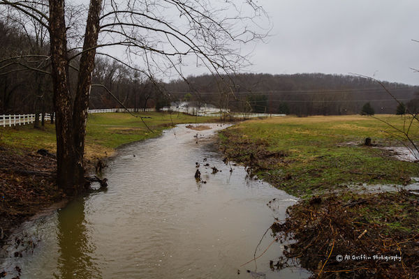
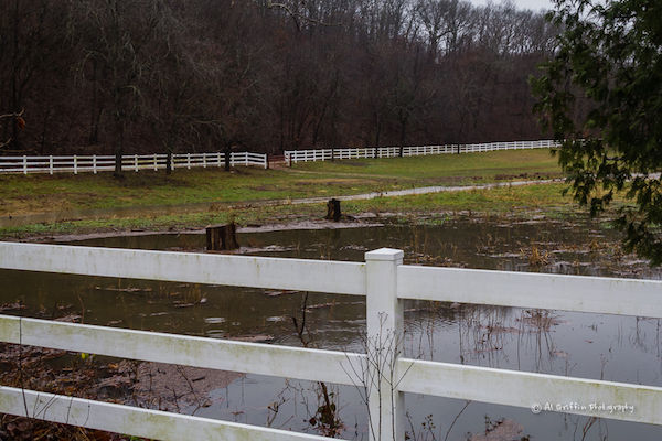
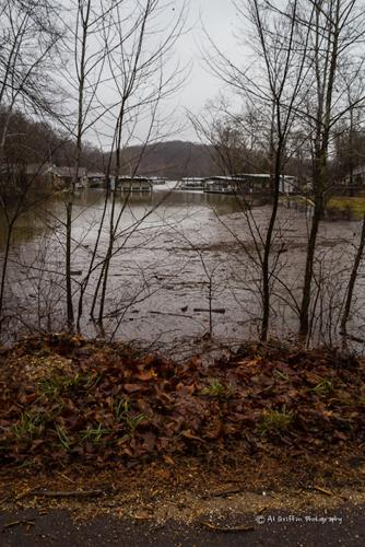
Flooding Around Lake Of The Ozarks - Gallery II
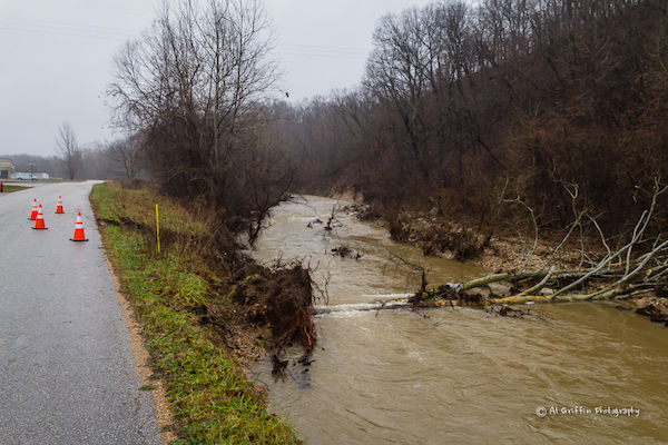
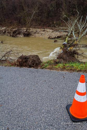
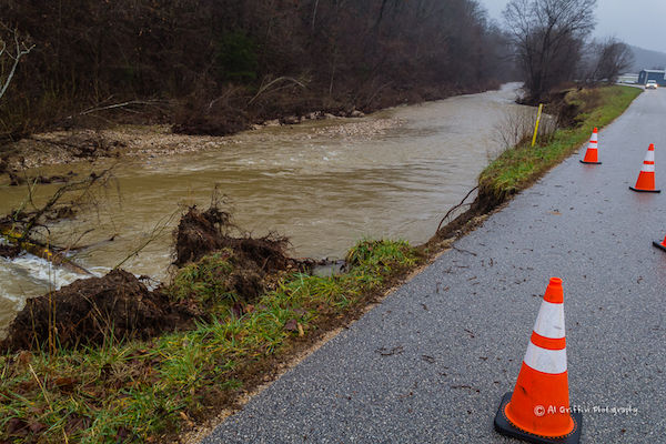
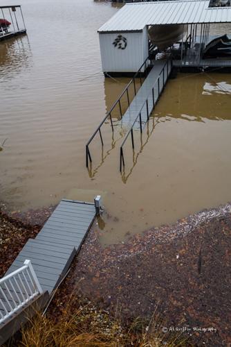
Homes, docks and property went under water as the Lake of the Ozarks experienced massive flooding the weekend after Christmas.
Why Weren't Floodgates Opened Sooner? Dam Operator Explains
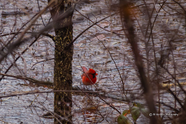
Photography by Al Griffin
Photos are copyright protected! Please respect our photographers' copyrights. For copies of digital images, email photo ID to lakeexpo@yahoo.com.
MORE PHOTOS: