
The Lake of the Ozarks Shootout draws tens of thousands of boaters to central Missouri for a one-of-a-kind festival of speed. But a prerequisite to Shootout fun is knowing where to go — and especially where to park.
Here's a look at the maps published today by the Shootout, and a quick rundown of what to know in each.
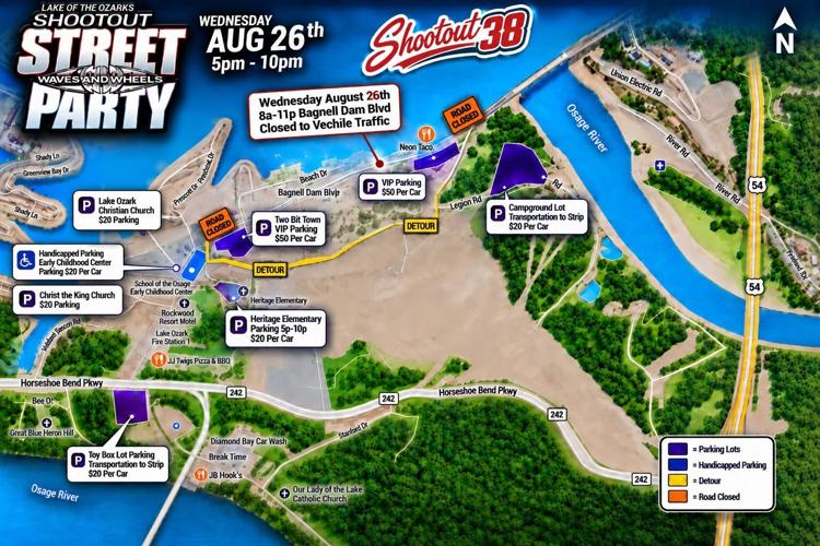
Shootout Street Party Parking Map

For Wednesday night’s Shootout Street Party, Bagnell Dam Boulevard will be closed to vehicle traffic basically all day — from 8 a.m. to 11 p.m. — with multiple $20 parking options and shuttle transportation to the Strip.
VIP parking is available for $50, with designated handicapped parking at the School of the Osage Early Childhood Center.
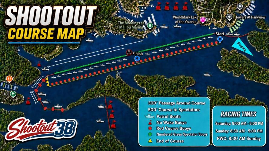
Shootout Course Map

Racers will proceed down the course in a southwesterly direction, with the starting box near The Towers condos.
Spectators must remain at least 500 feet from the course, with numbered green buoys marking the spectator boundary and patrol boats controlling access.
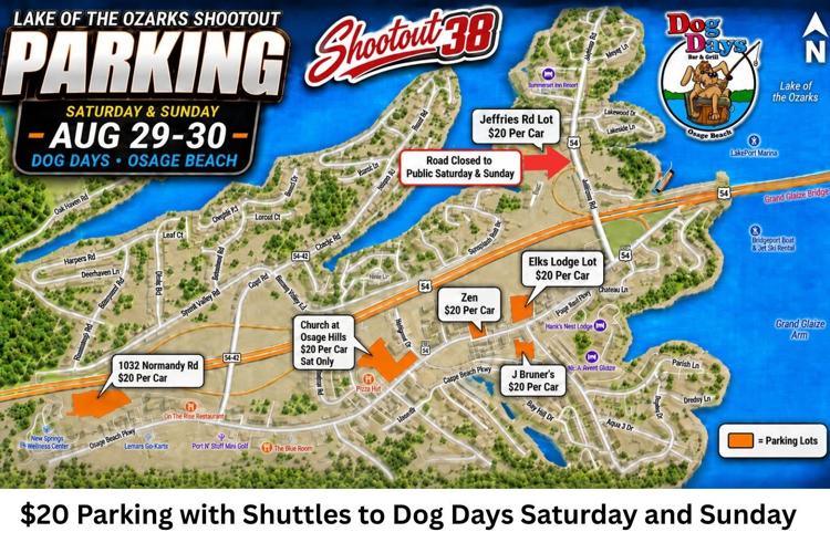
Shootout Parking Map

On Saturday and Sunday, several $20 parking lots will be available around Osage Beach, with shuttle transportation to Dog Days from designated lots. Parking includes locations along Osage Beach Parkway, near the Grand Glaize Bridge and off Jeffries Road.
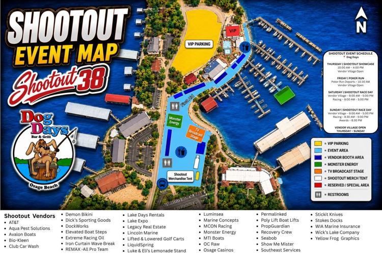
Shootout Event Map at Dog Days

Dog Days will be divided into designated vendor, event, VIP and reserved areas throughout Shootout weekend, with the vendor village open Thursday through Sunday.
The map also shows restroom locations, the TV broadcast stage, Shootout merchandise tent and Monster Energy area.

































More like this...
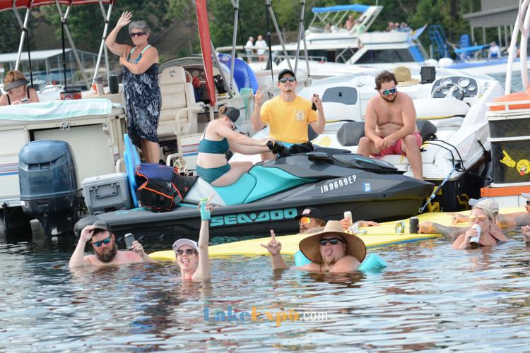
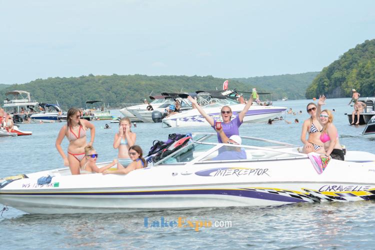
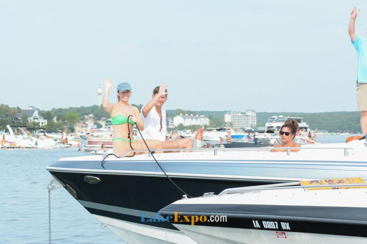
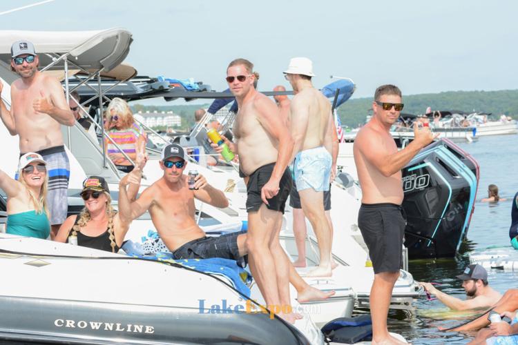
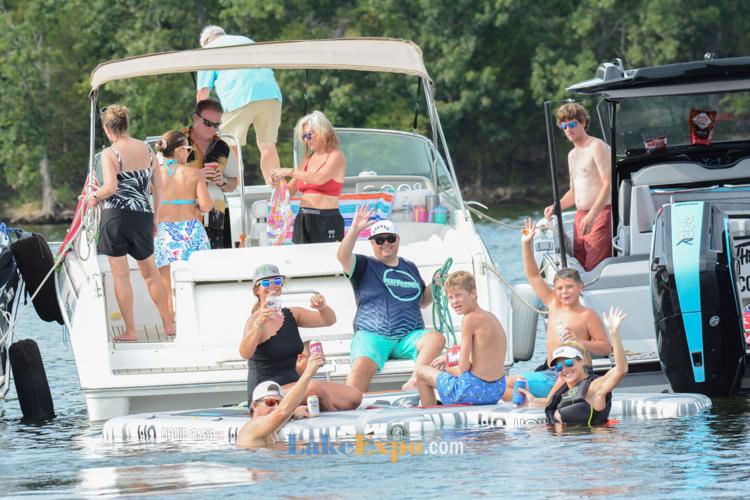
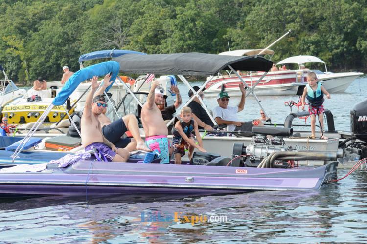
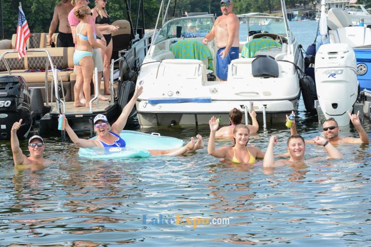
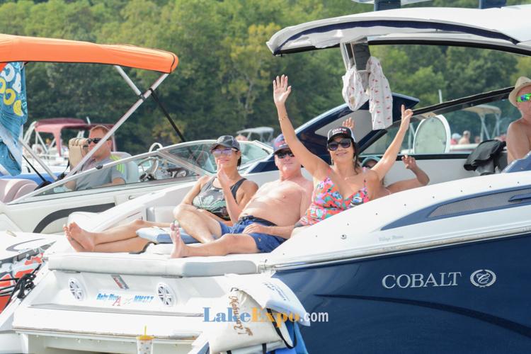
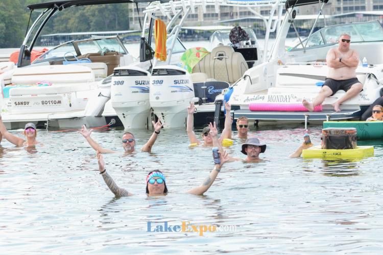
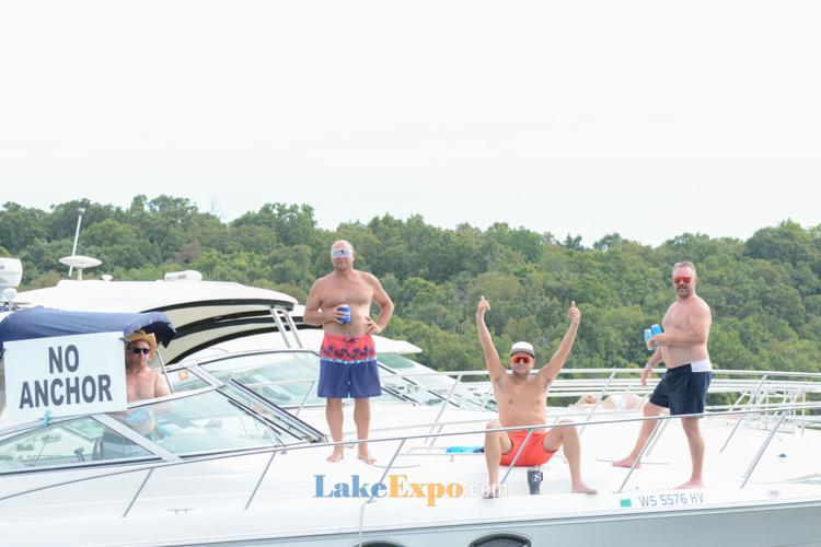
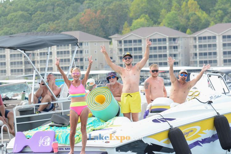
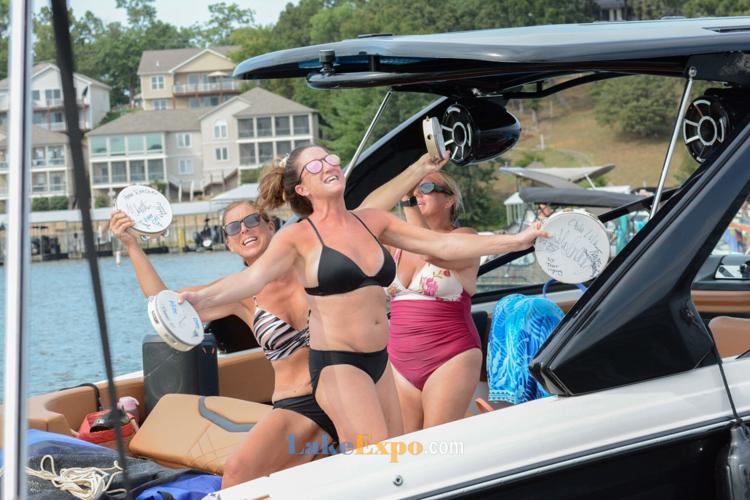
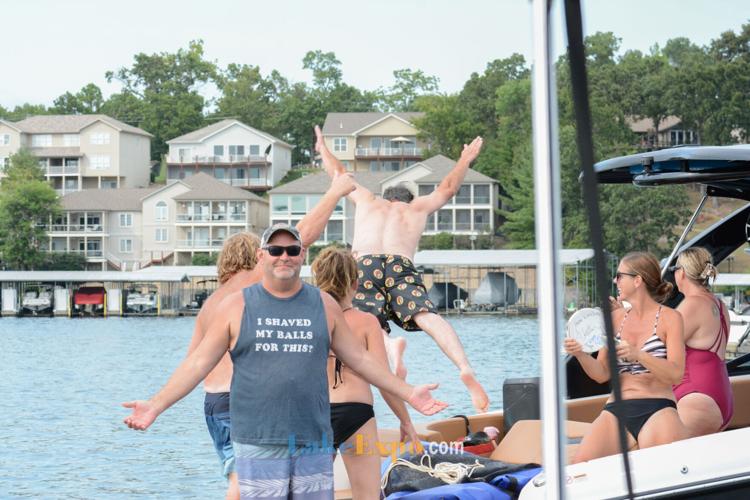
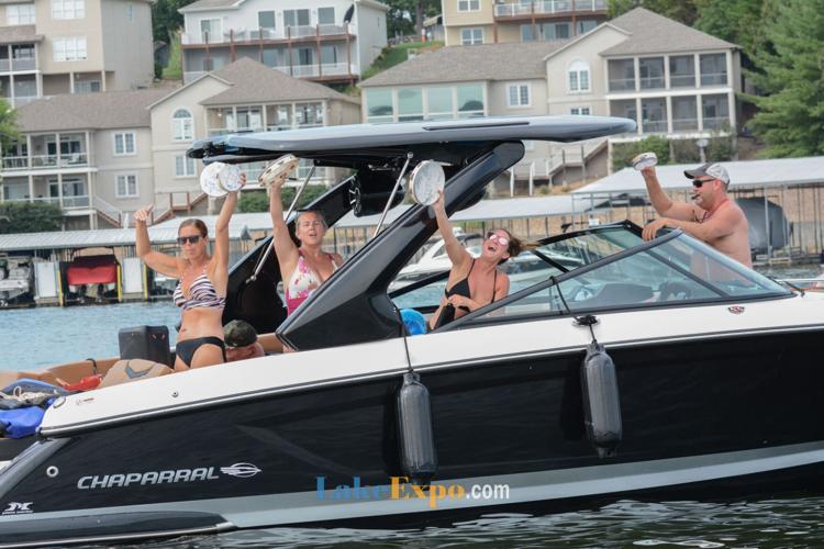
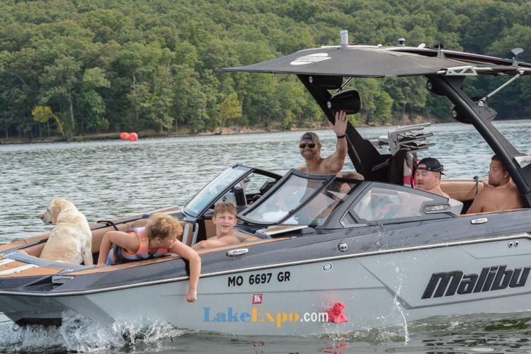
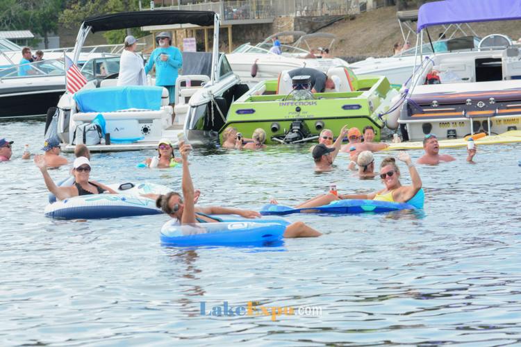
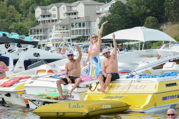
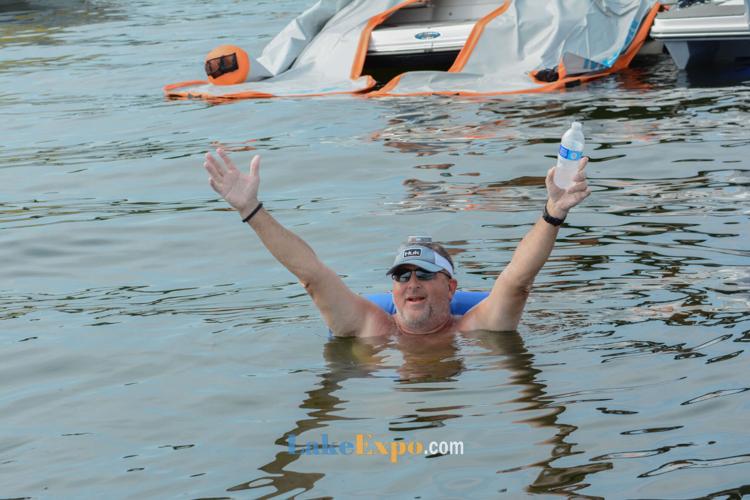
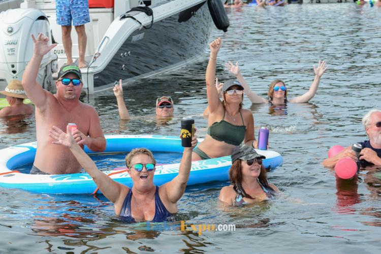
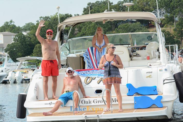
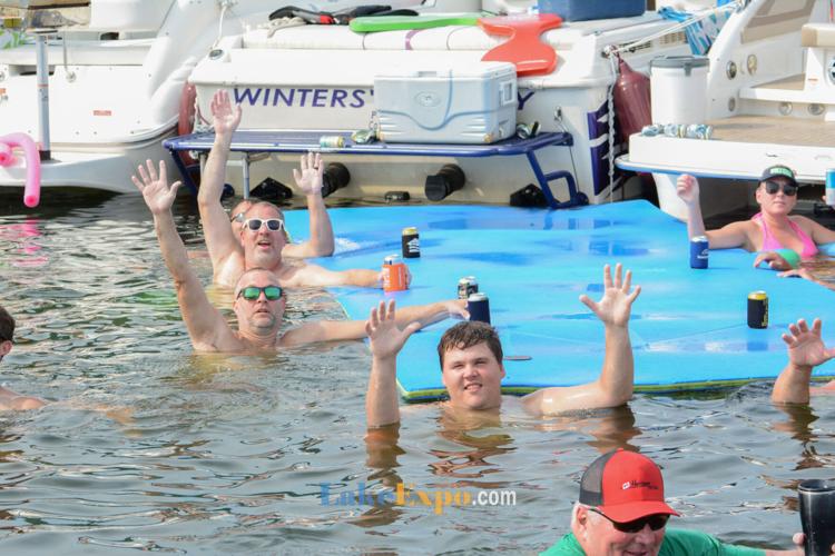
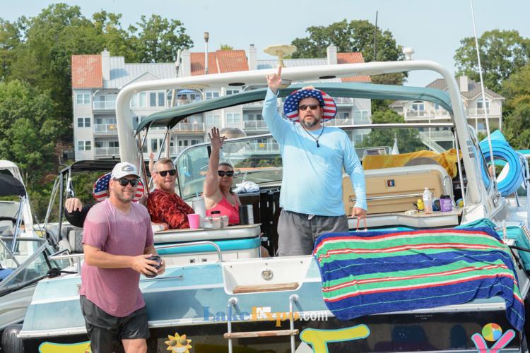
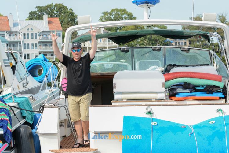
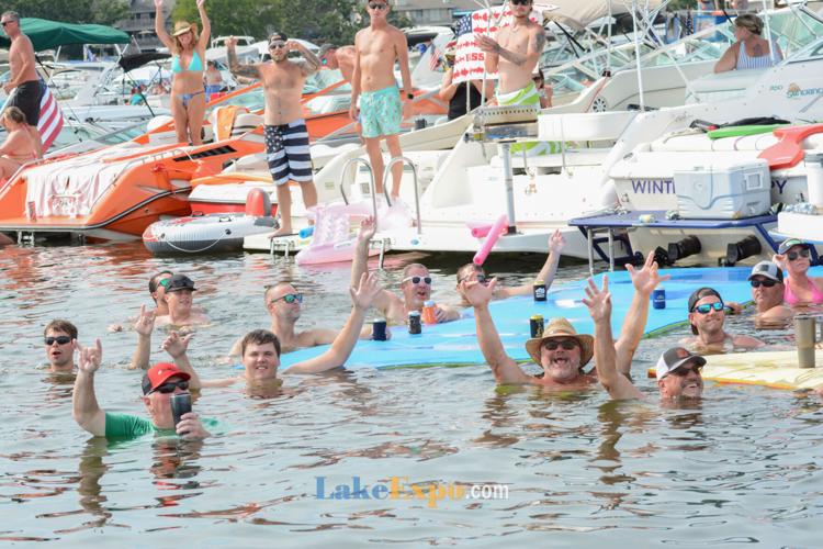
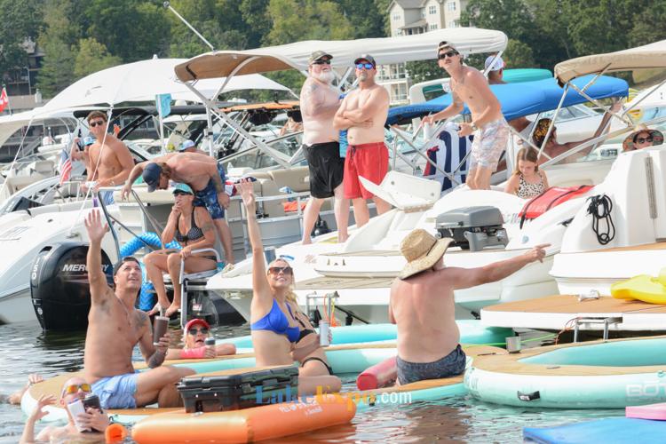
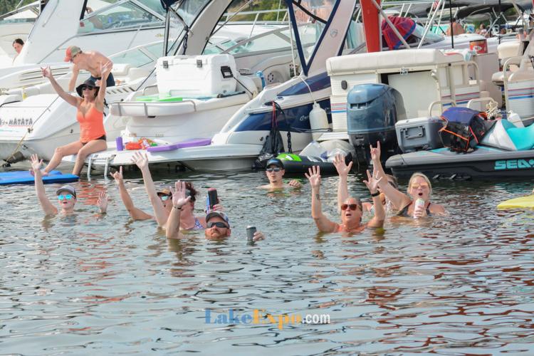
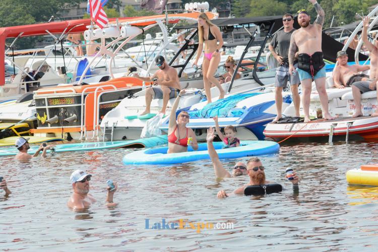
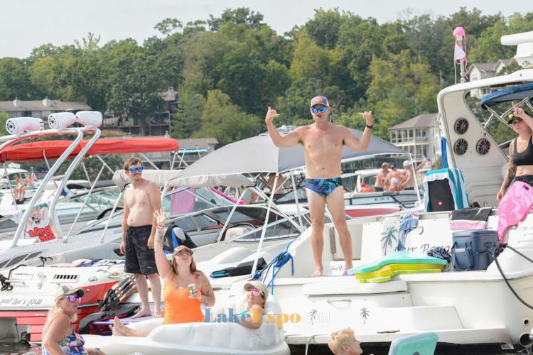
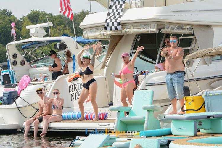
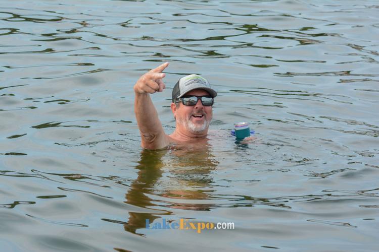
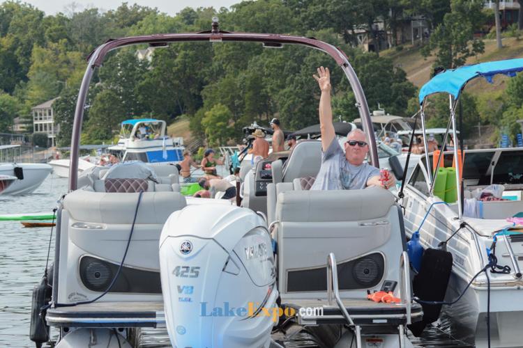
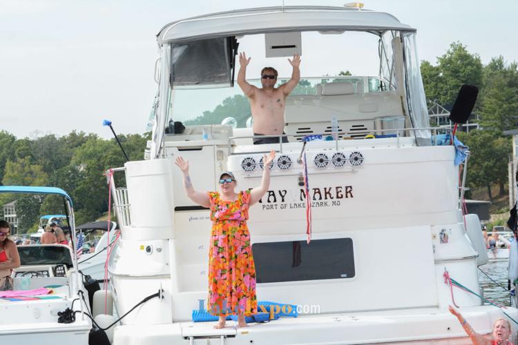
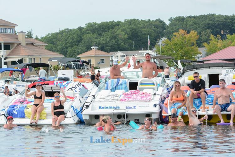
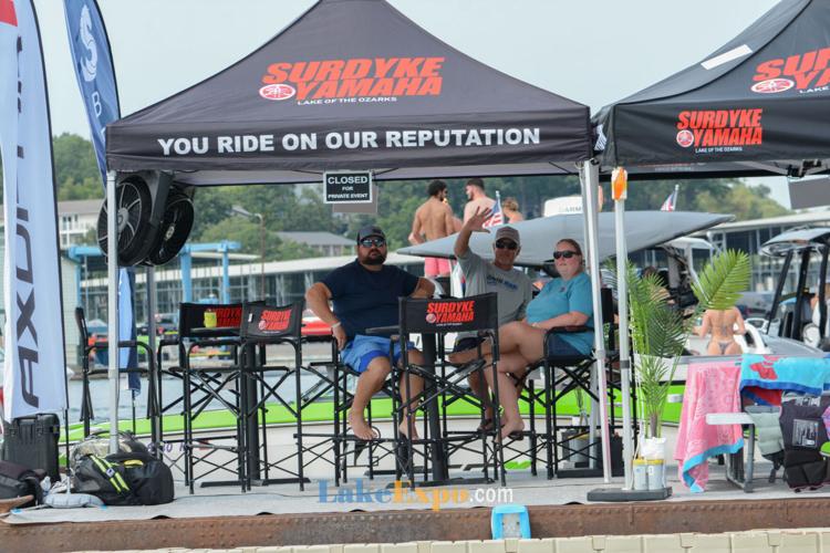
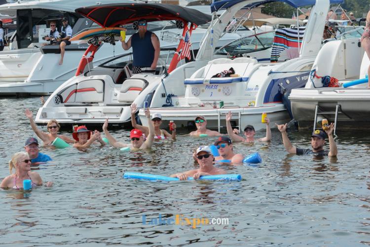
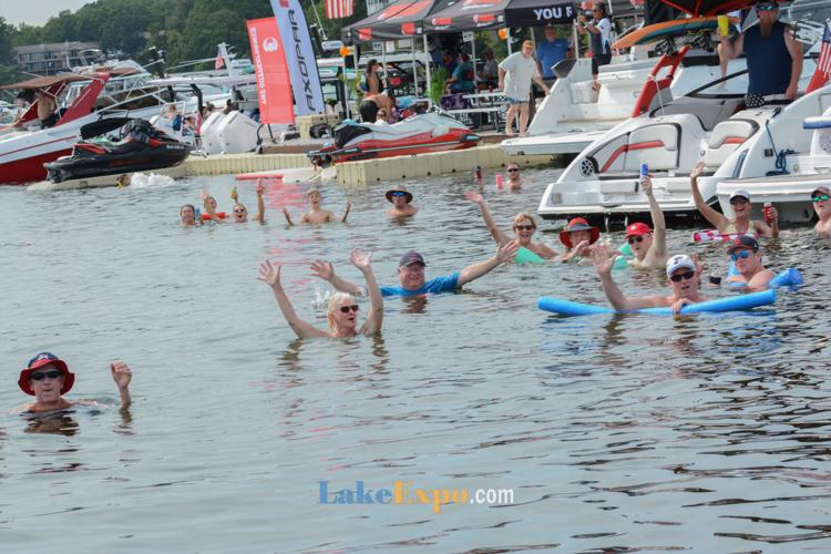
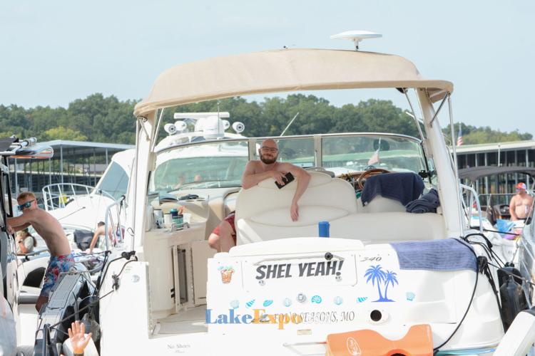
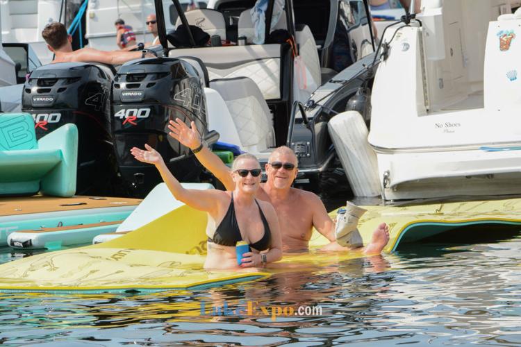
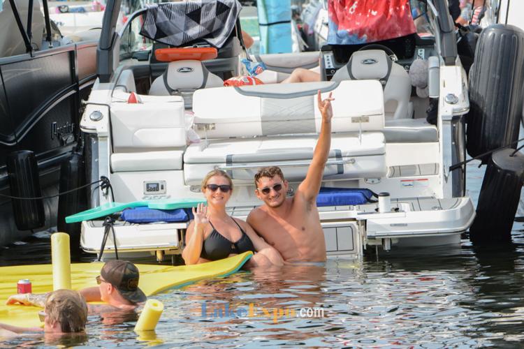
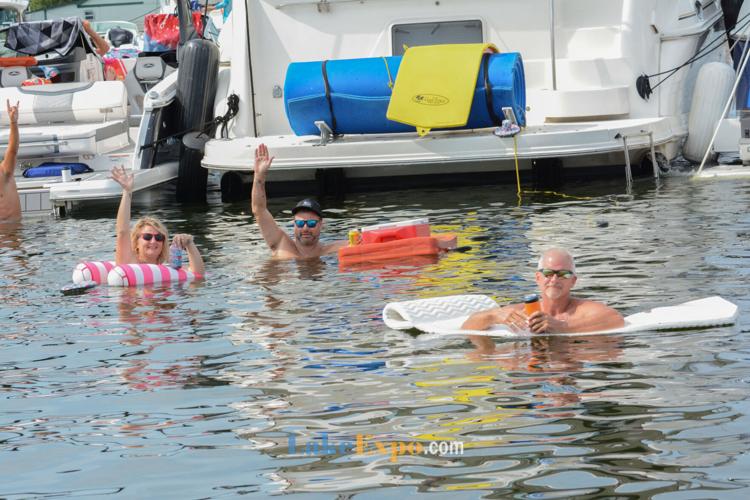
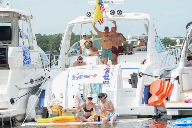
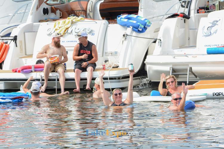
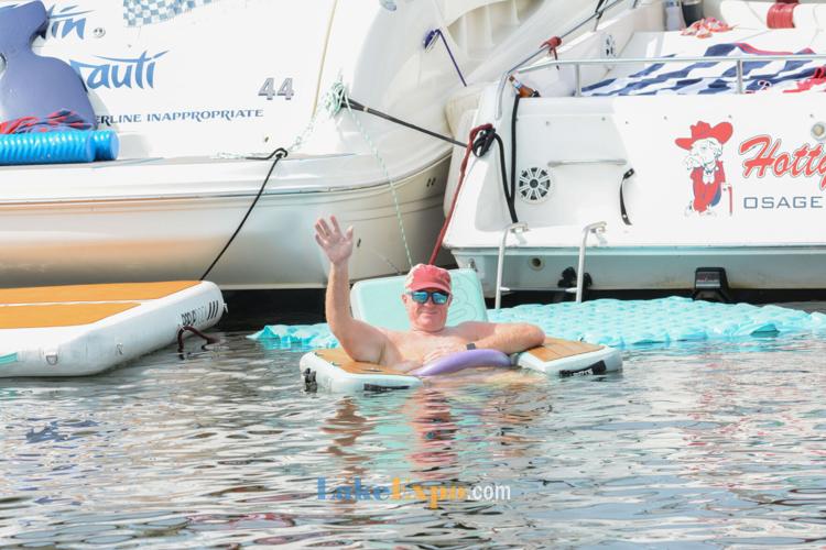
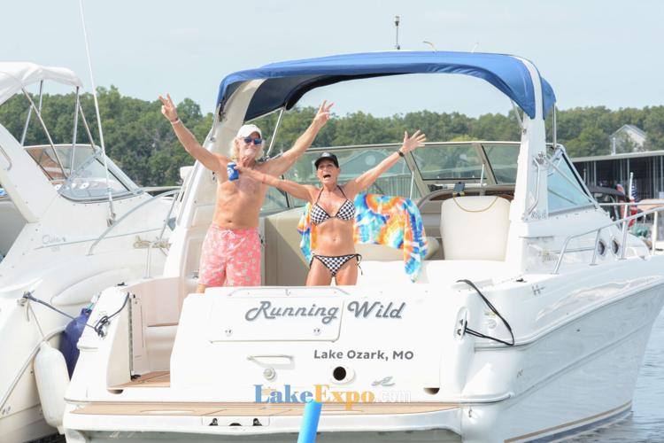
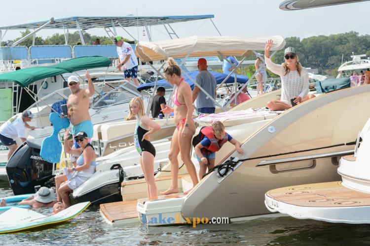
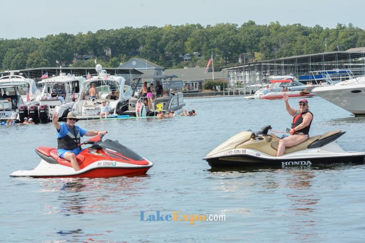
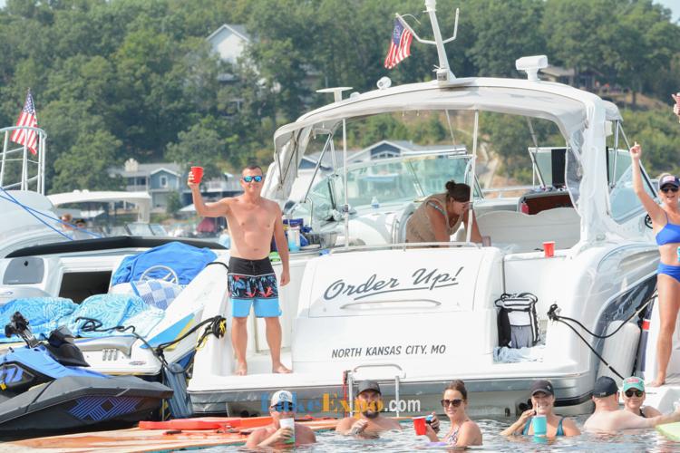
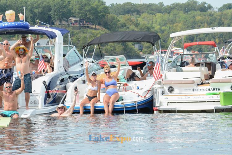
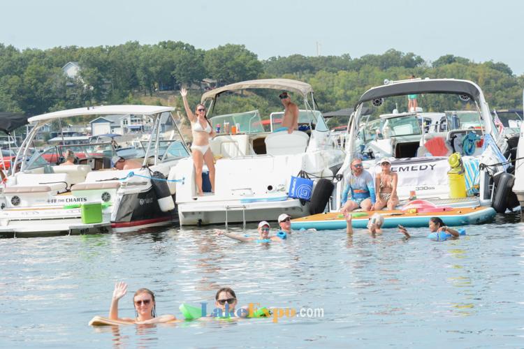
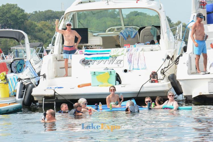
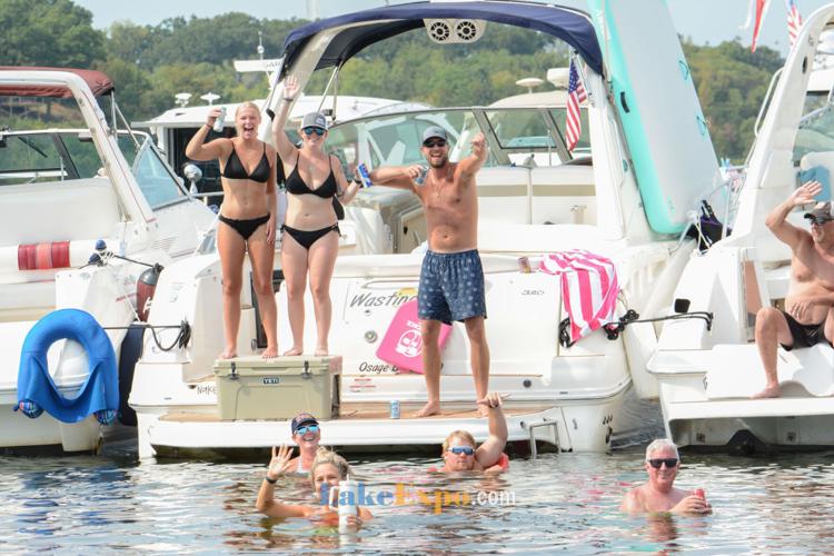
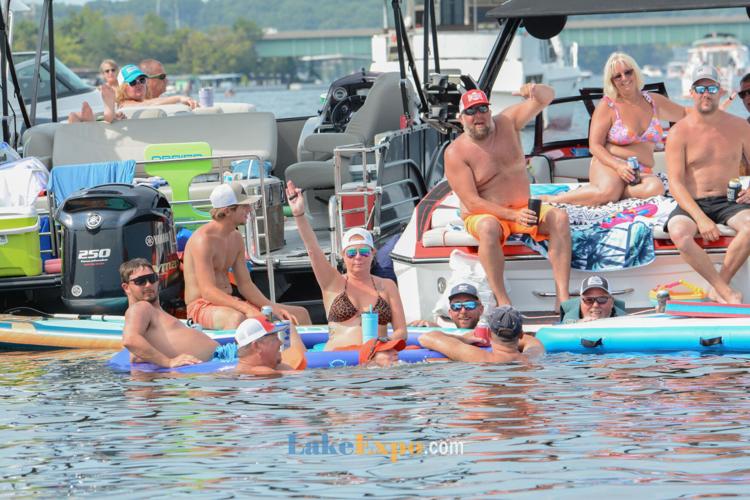
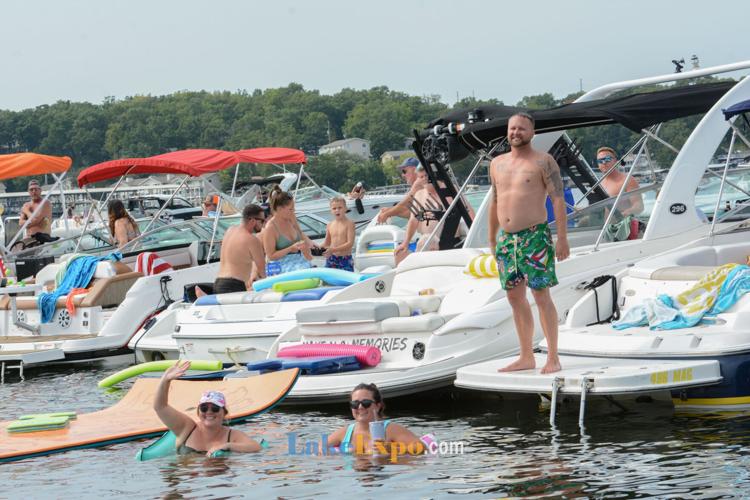
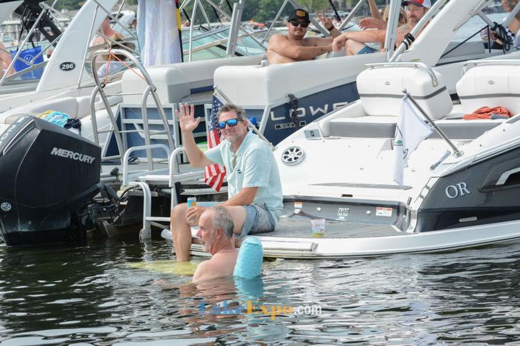
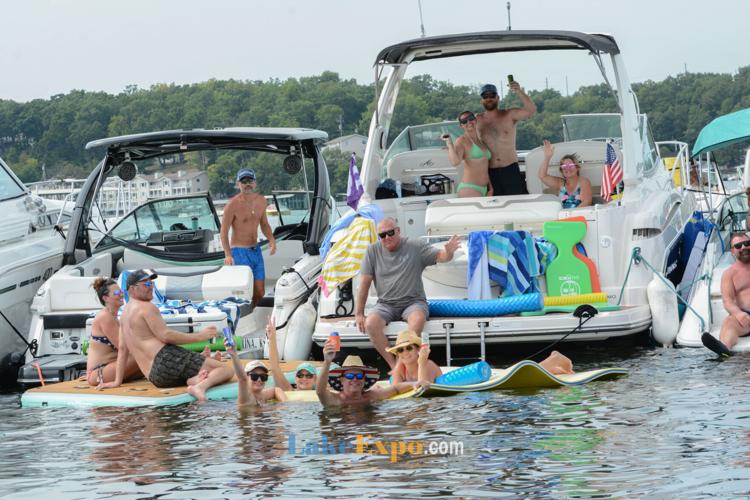
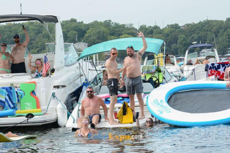
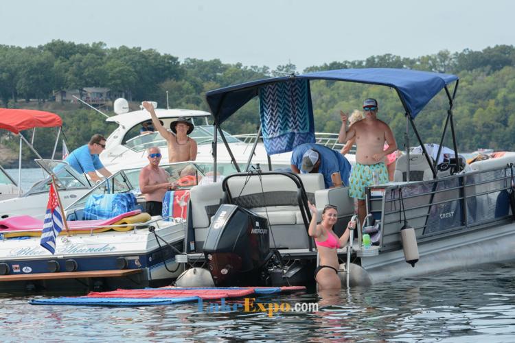
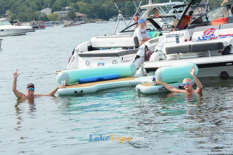
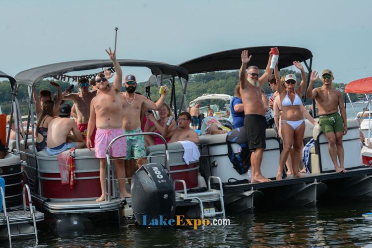
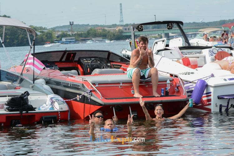
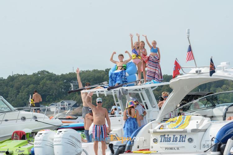
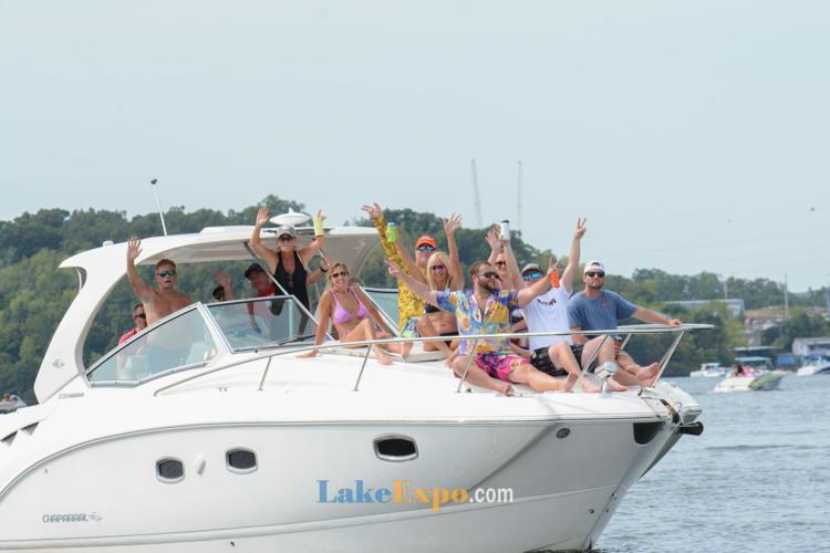
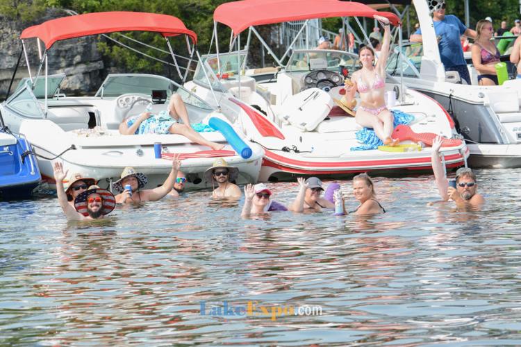
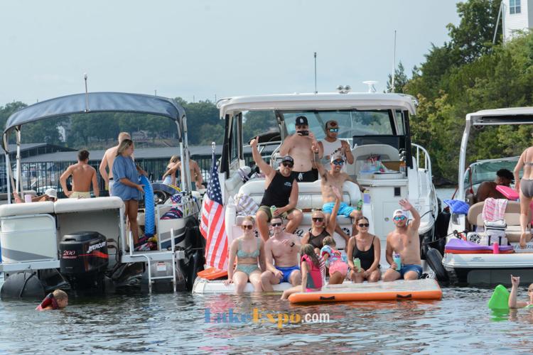
PHOTOS: The Shootout's Floating Party On Lake Of The Ozarks
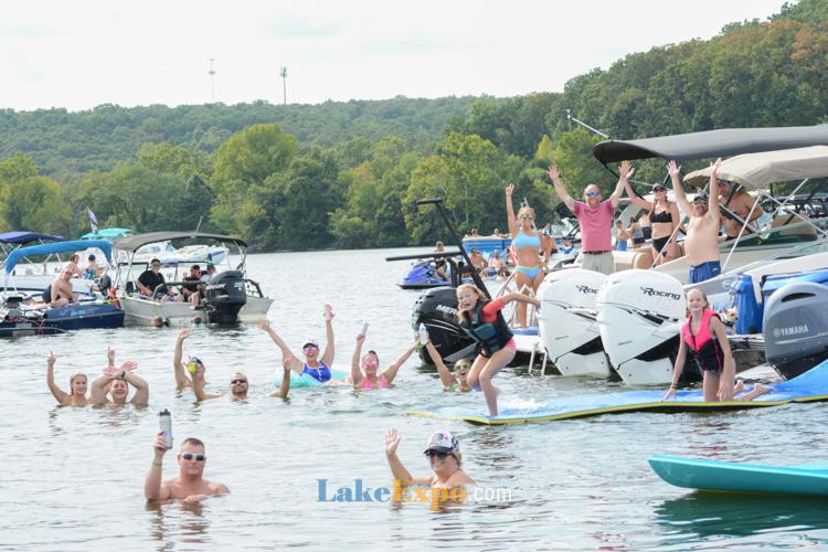
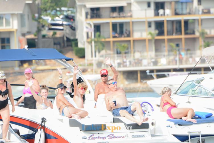
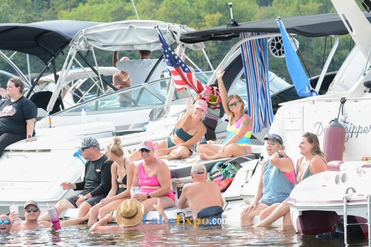
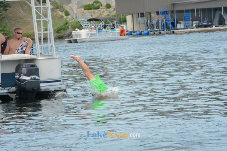
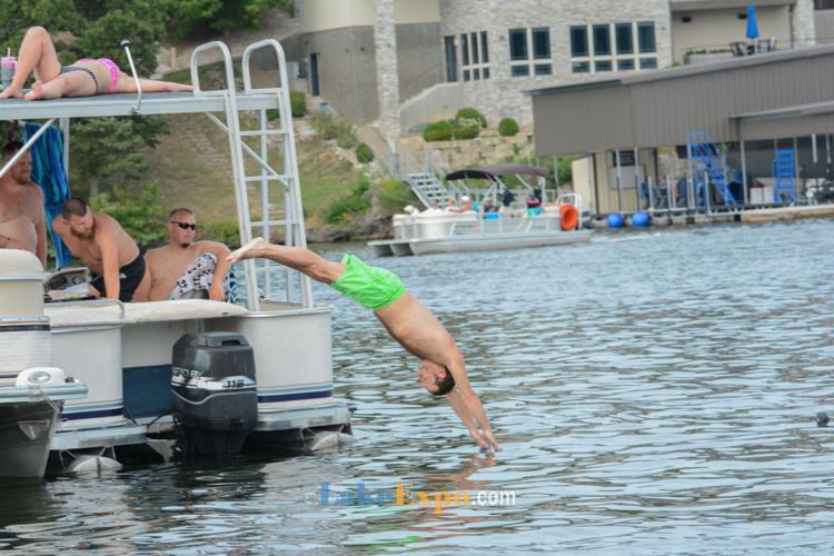
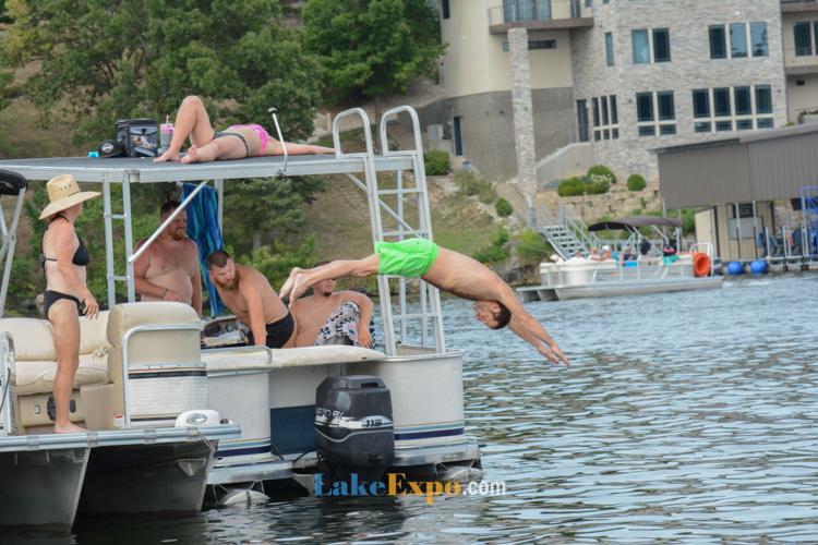
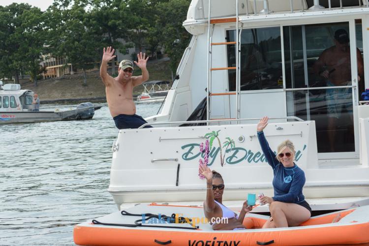
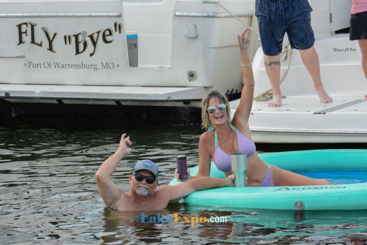
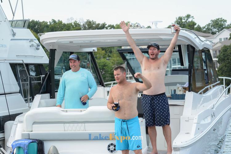
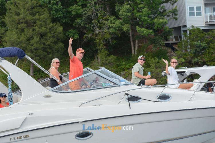
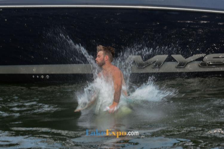
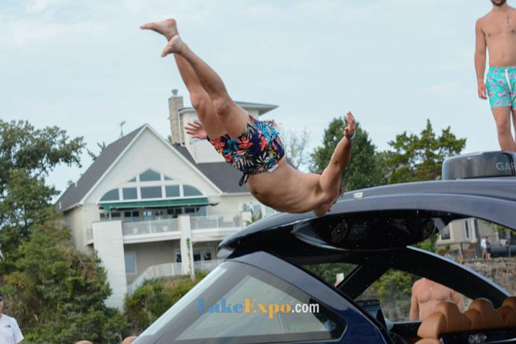
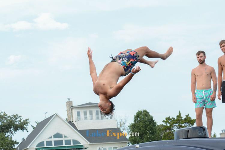
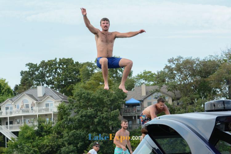
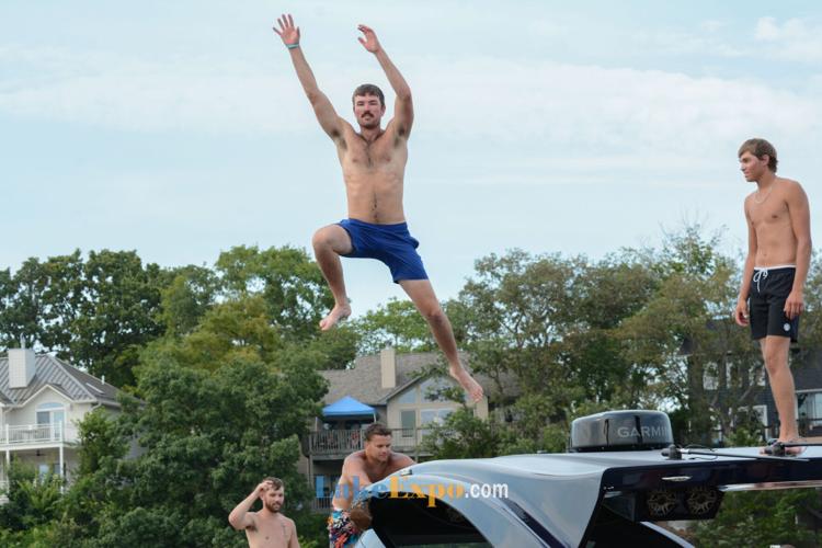
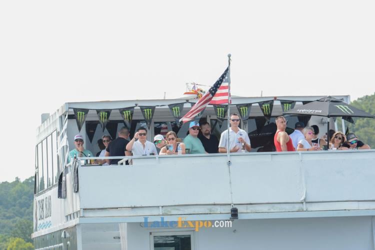
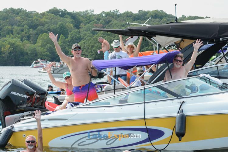
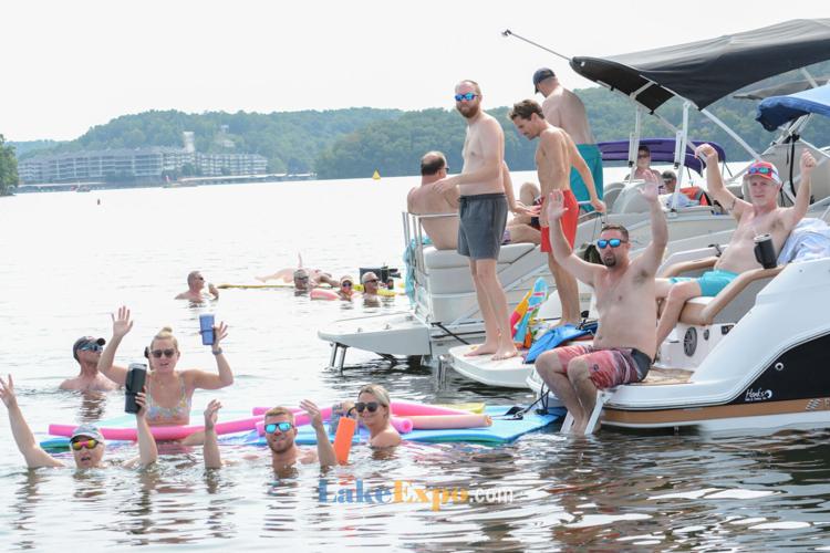
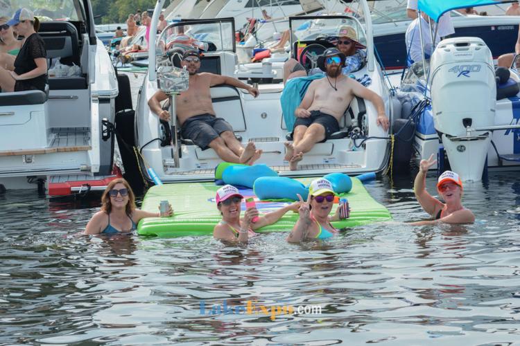
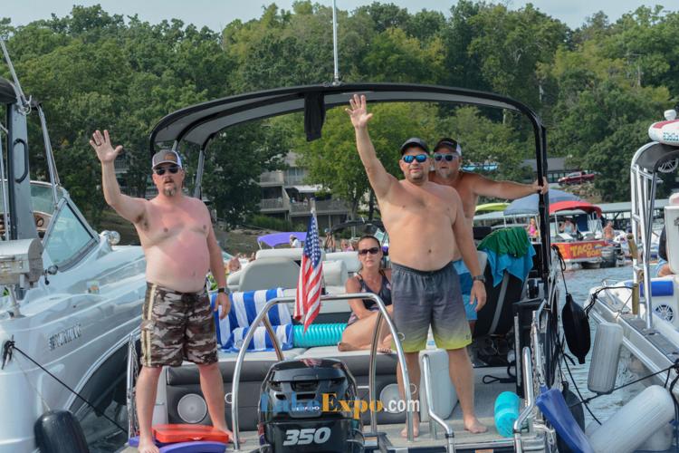
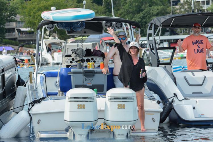
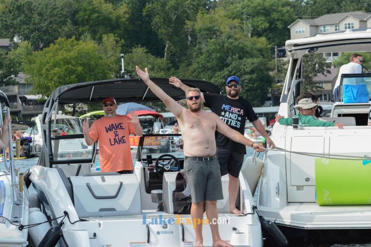
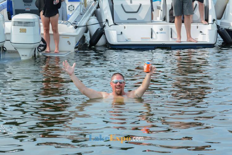
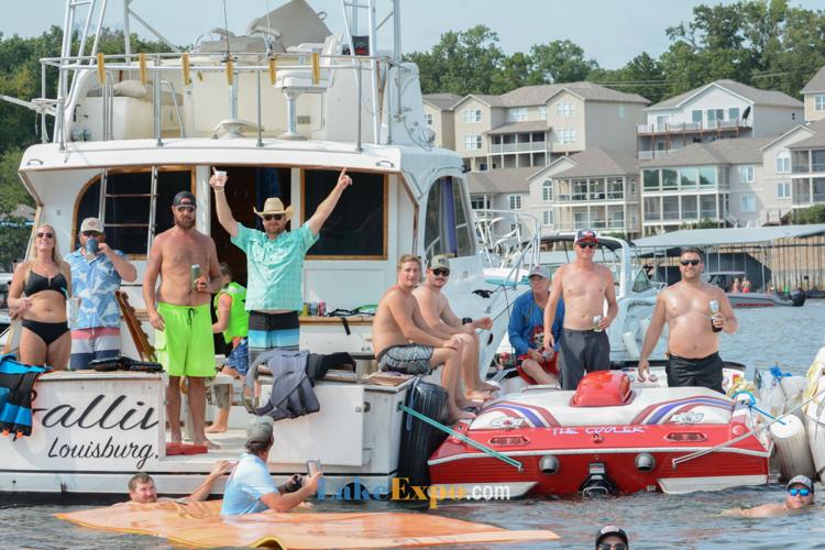
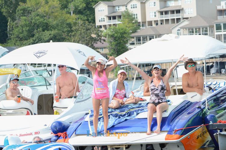
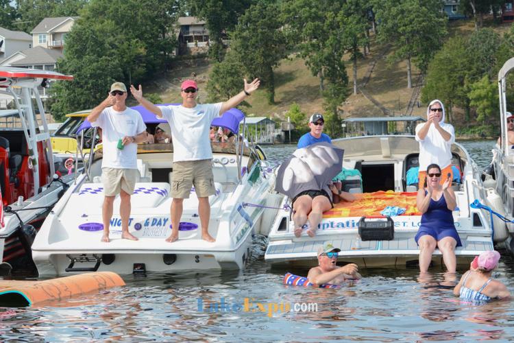
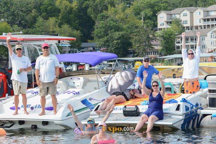
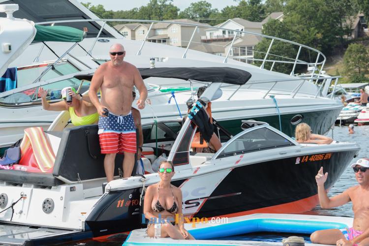
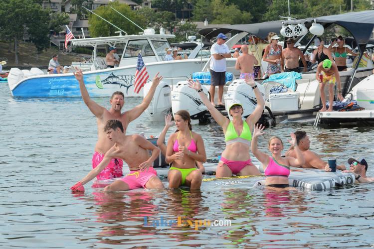
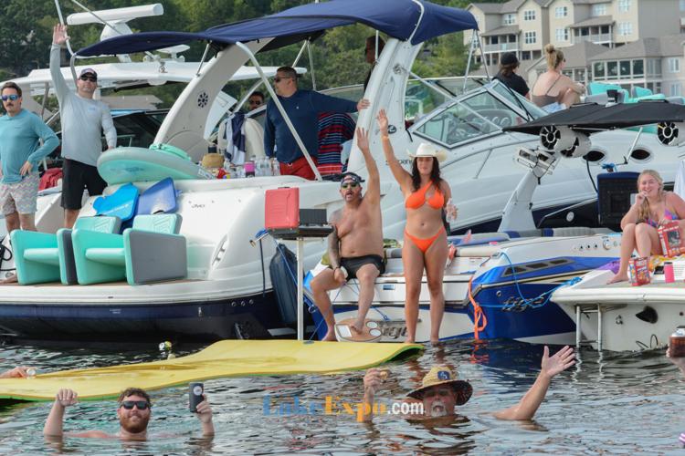
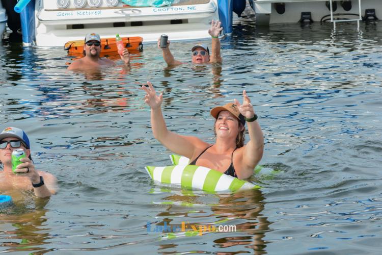
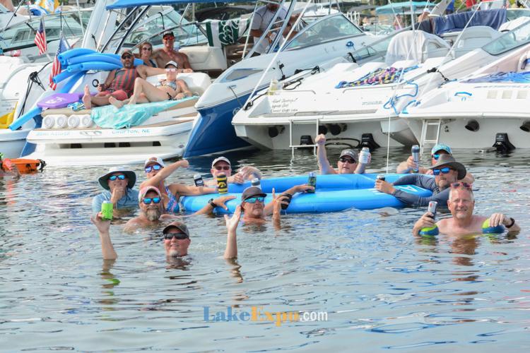
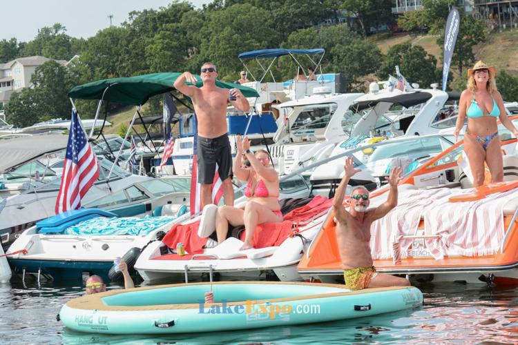
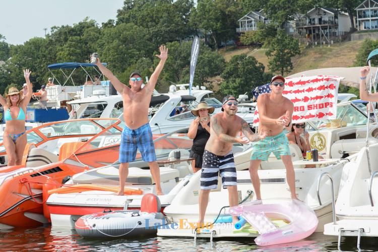
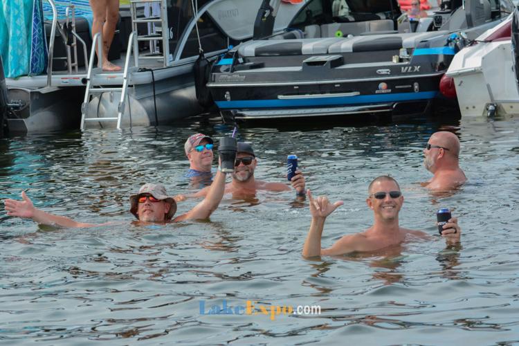
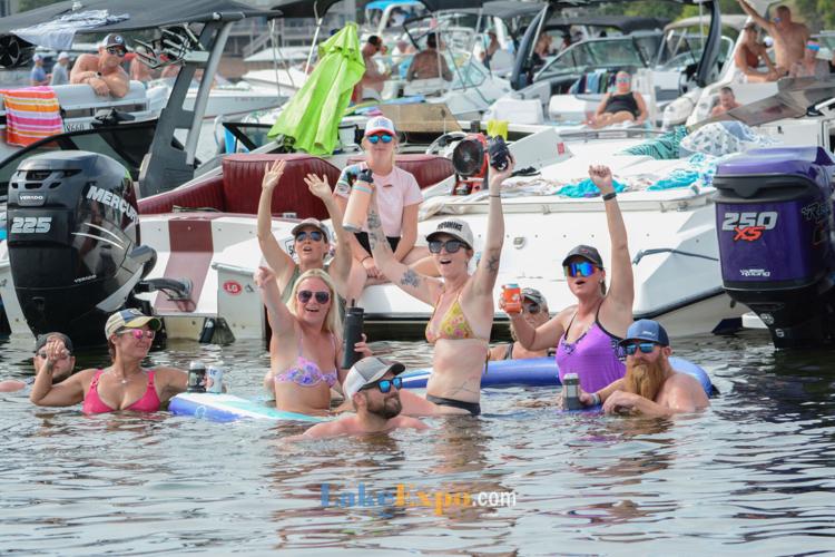
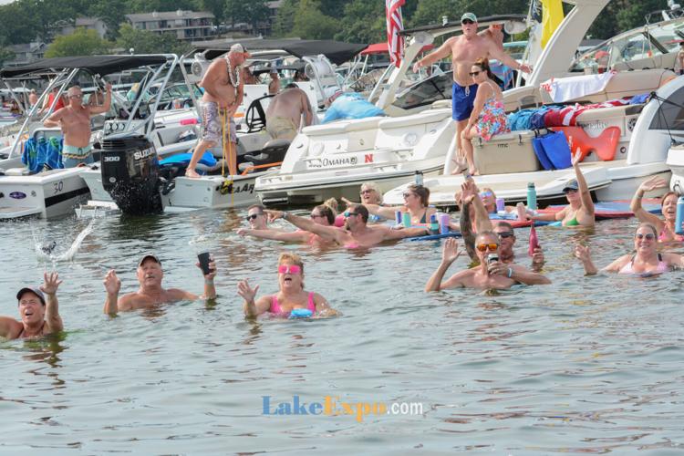
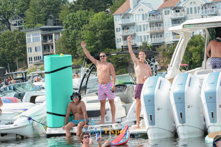
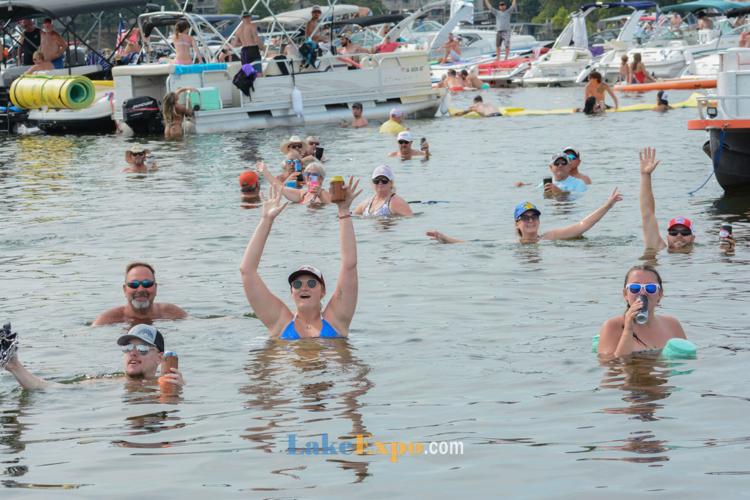
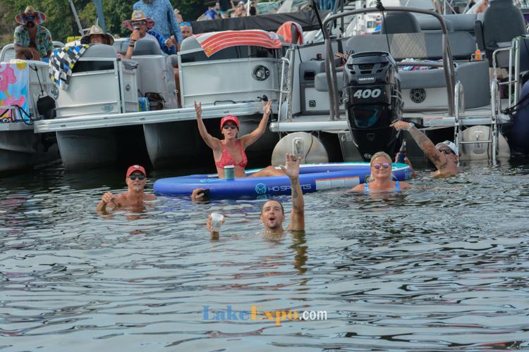
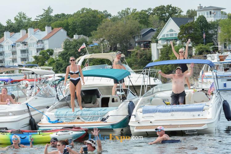
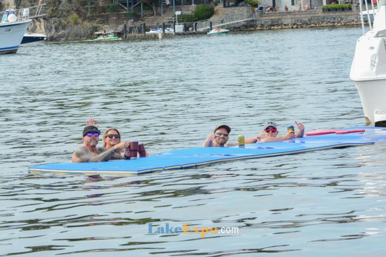
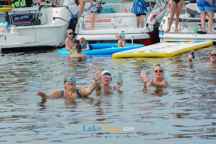
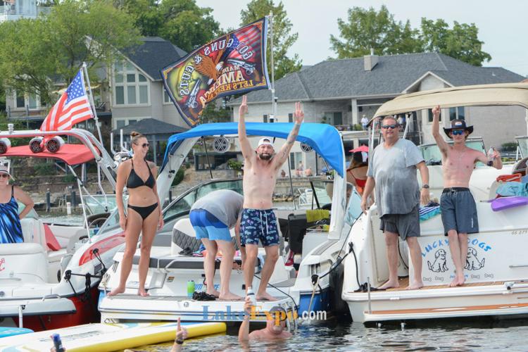
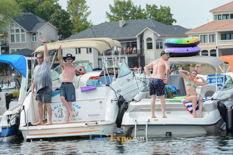
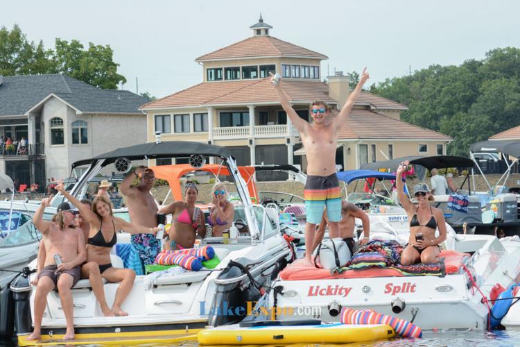
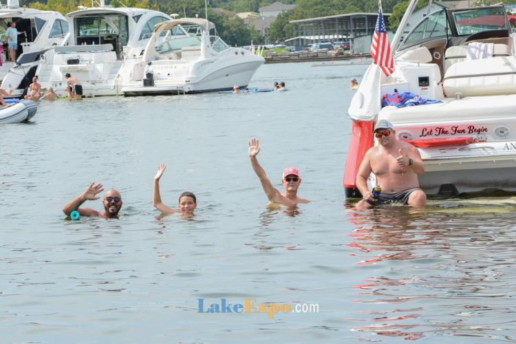
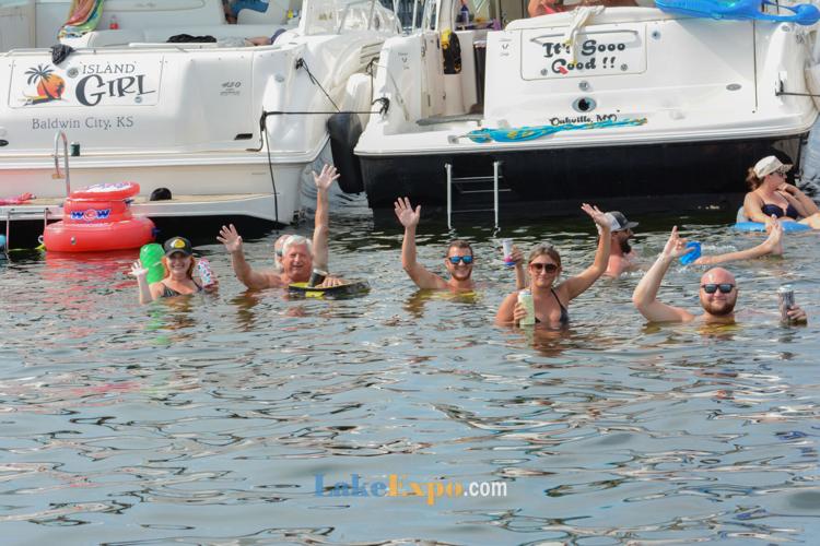
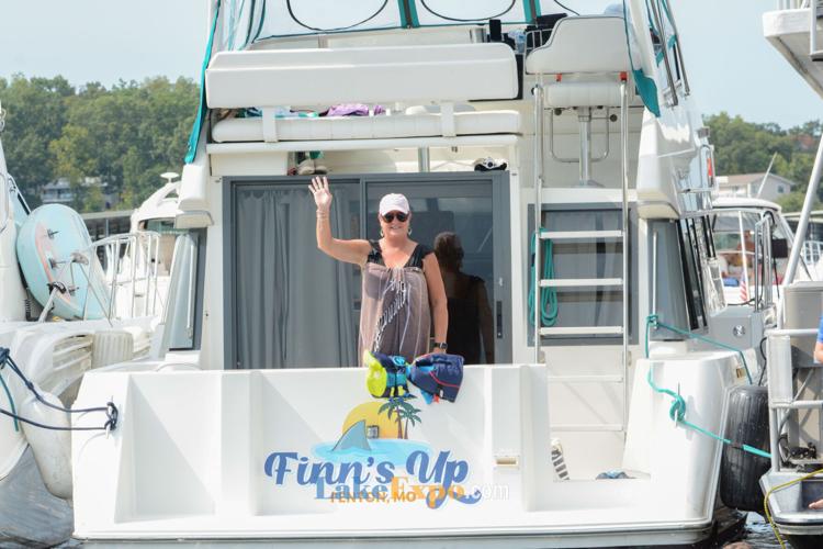
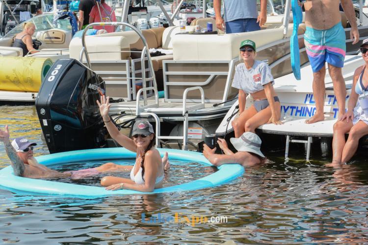
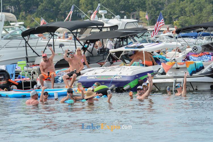
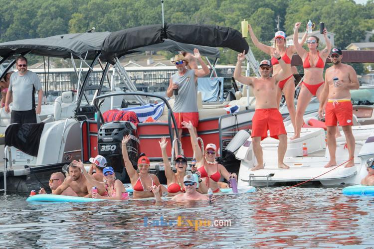
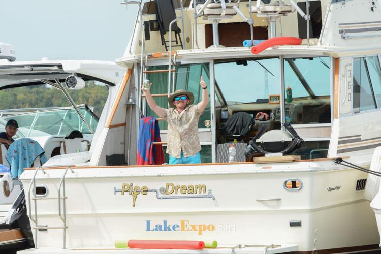
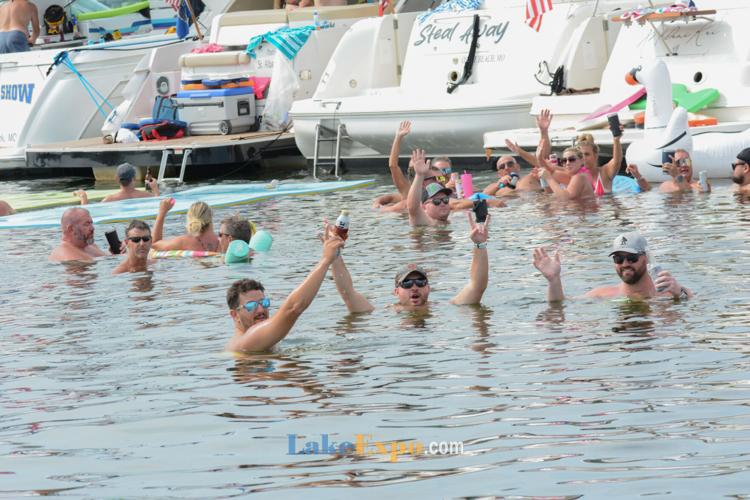
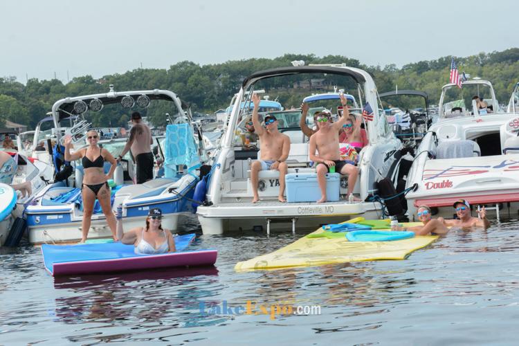
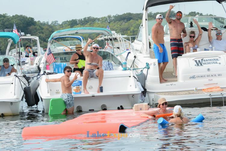
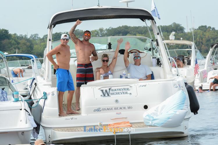
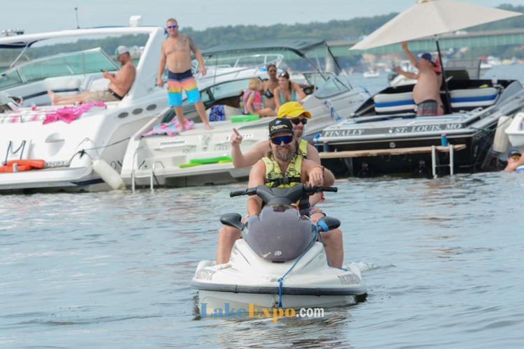
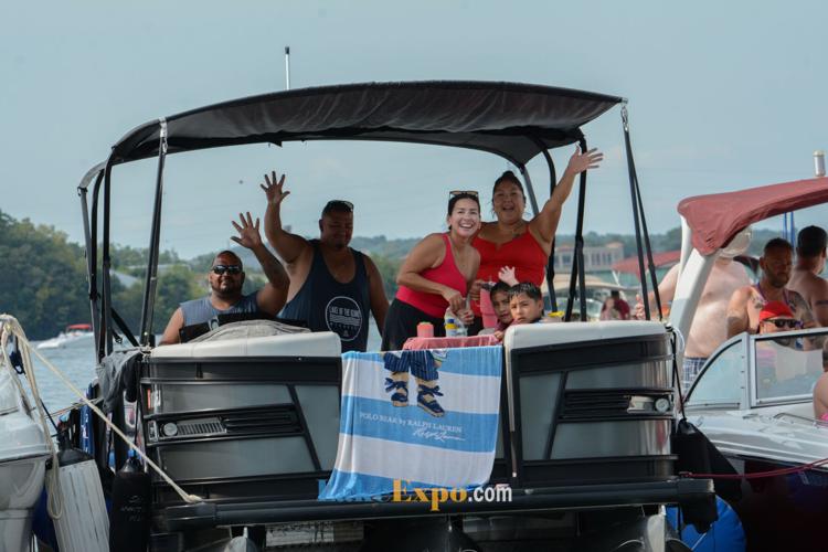
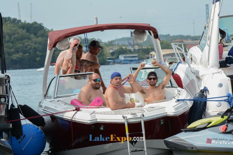
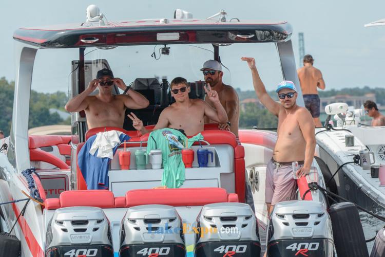
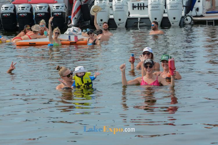
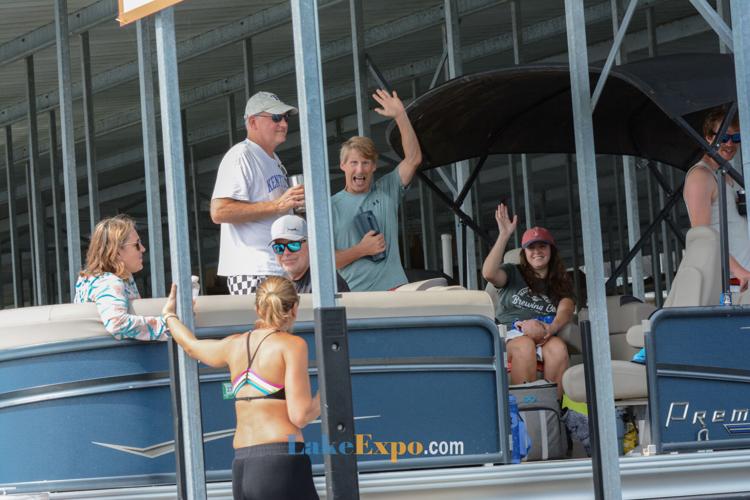
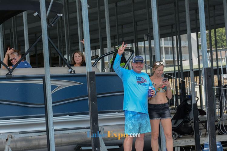
The 37th Annual Lake of the Ozarks Shootout drew a flotilla like no other.
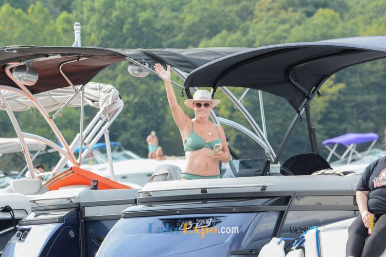
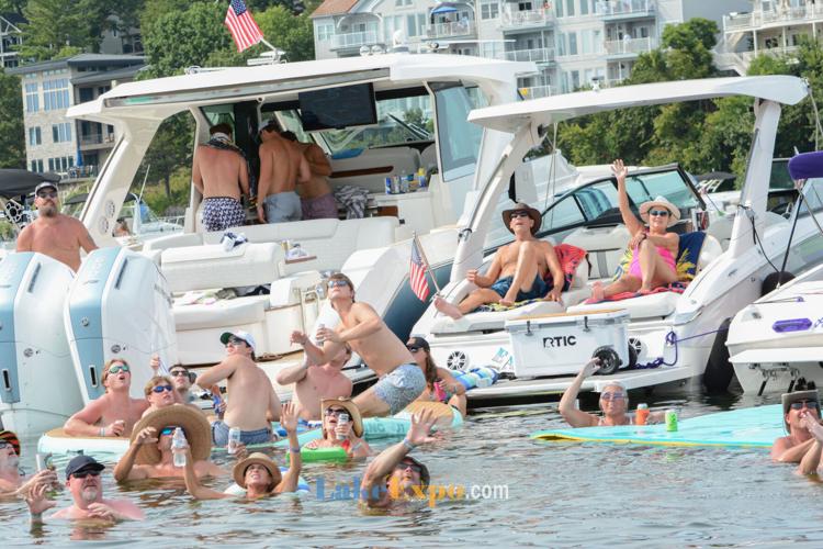
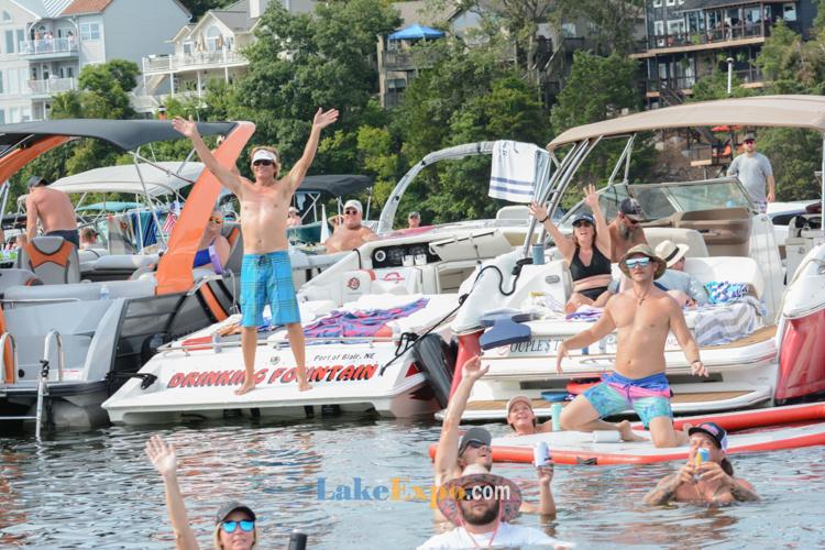
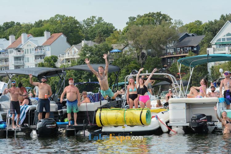
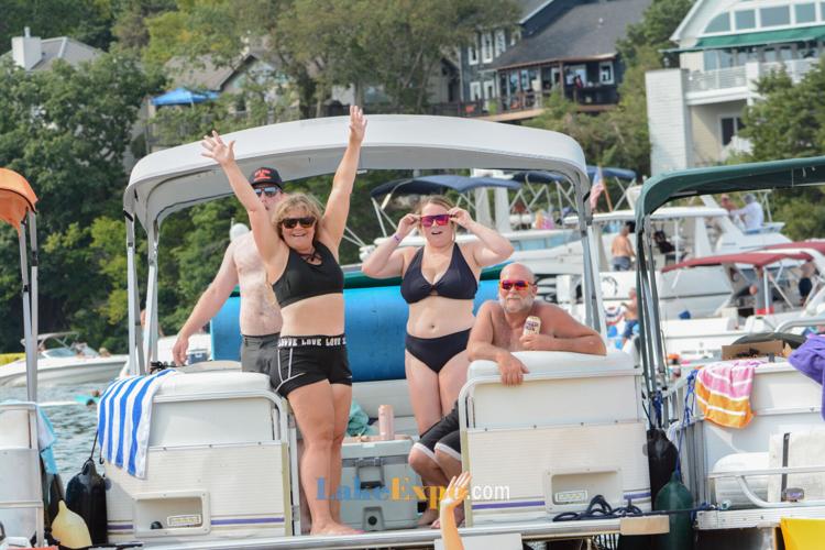
Boats of every size and style packed the water for a front-row seat to the action. Thousands of spectators rafted up in massive tie-ups, and the LakeExpo boat made sure to capture the awesome crowd over the weekend.
Photos by Justin Pfeifer – for high-res images, email lakeexpo@yahoo.com
Stories Trending Right Now
Articles
- Developers Release New Renderings Of $500M Oasis Amusement Park & Resort At Lake Of The Ozarks
- MISSOURI HERO: Trooper Justin Hedrick, Who Stopped A Drunk, Wrong-Way Driver On I-55
- Eldon Woman Killed In Motorcycle Crash On Hwy 63
- Two 18-Year-Olds Arrested For Allegedly Selling Meth In The Lake Area
- Legal Battle Over Toddler Drowning At Lake Of The Ozarks Heats Up: Body Cam Footage Released
- Five Taken To Hospital After Two Vehicles Collide On Hwy 42
- A Woman Angler Won $204K For A Single Bass And Made History At Lake Of The Ozarks
- Lake-Area Man Killed In Motorcycle Crash On Route AA
- Fire Destroys Linn Creek Home Near Flower Pot Cove
- 7-Year-Old Flown To Hospital After Bicycle & Tractor Crash Near Versailles
Images


Videos


![[VIDEO]: Ferris Wheel Now Standing Tall At The Oasis](https://bloximages.chicago2.vip.townnews.com/lakeexpo.com/content/tncms/assets/v3/editorial/6/45/645bc455-286b-4556-b486-8f36b333dff4/6ab5949ebf5bf.preview.png?crop=1263%2C1263%2C0%2C60)


Time To Sell The Lake House?
It's What We Do Best!
Find Out The Market Value Of Your Lake Home
Call 573-693-1613 To Put Our Team To Work For You
BUYERS
Search All Lake Homes
Lake Home Finder - Be The First To Know
Meet The Buyer Agent Who's Right For You